Distance from Jonquiere to Magog
Distance between Jonquiere and Magog is 357 kilometers (222 miles).
Driving distance from Jonquiere to Magog is 469 kilometers (291 miles).
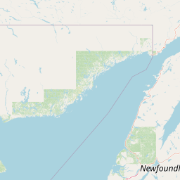
Distance Map Between Jonquiere and Magog
Jonquiere, Quebec, Canada ↔ Magog, Quebec, Canada = 222 miles = 357 km.

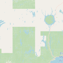


How far is it between Jonquière and Magog
Jonquiere is located in Canada with (48.4165,-71.2488) coordinates and Magog is located in Canada with (45.2668,-72.1491) coordinates. The calculated flying distance from Jonquiere to Magog is equal to 222 miles which is equal to 357 km.
If you want to go by car, the driving distance between Jonquiere and Magog is 468.91 km. If you ride your car with an average speed of 112 kilometers/hour (70 miles/h), travel time will be 04 hours 11 minutes. Please check the avg. speed travel time table on the right for various options.
Difference between fly and go by a car is 112 km.
| City/Place | Latitude and Longitude | GPS Coordinates |
|---|---|---|
| Jonquiere | 48.4165, -71.2488 | 48° 24´ 59.3280'' N 71° 14´ 55.8240'' W |
| Magog | 45.2668, -72.1491 | 45° 16´ 0.4080'' N 72° 8´ 56.7240'' W |
Estimated Travel Time Between Jonquière and Magog
| Average Speed | Travel Time |
|---|---|
| 30 mph (48 km/h) | 09 hours 46 minutes |
| 40 mph (64 km/h) | 07 hours 19 minutes |
| 50 mph (80 km/h) | 05 hours 51 minutes |
| 60 mph (97 km/h) | 04 hours 50 minutes |
| 70 mph (112 km/h) | 04 hours 11 minutes |
| 75 mph (120 km/h) | 03 hours 54 minutes |
Related Distances from Jonquiere
| Cities | Distance |
|---|---|
| Jonquiere to Alma | 41 km |
| Jonquiere to Montreal | 467 km |
| Jonquiere to Laval | 473 km |
| Jonquiere to Saguenay | 17 km |
| Jonquiere to Sept Iles | 558 km |
Related Distances to Magog
| Cities | Distance |
|---|---|
| Montreal to Magog | 131 km |
| Sherbrooke to Magog | 36 km |
| Trois Rivieres to Magog | 179 km |
| Sorel Tracy to Magog | 156 km |
| Saint Hyacinthe to Magog | 102 km |