Distance from Jora to Sendhwa
Distance between Jora and Sendhwa is 586 kilometers (364 miles).
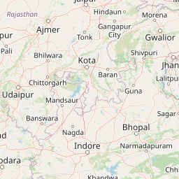
Distance Map Between Jora and Sendhwa
Jora, Bhopal, India ↔ Sendhwa, Bhopal, India = 364 miles = 586 km.


Leaflet | © OpenStreetMap
How far is it between Jora and Sendhwa
Jora is located in India with (26.3421,77.8092) coordinates and Sendhwa is located in India with (21.6859,75.0975) coordinates. The calculated flying distance from Jora to Sendhwa is equal to 364 miles which is equal to 586 km.
| City/Place | Latitude and Longitude | GPS Coordinates |
|---|---|---|
| Jora | 26.3421, 77.8092 | 26° 20´ 31.5240'' N 77° 48´ 33.1200'' E |
| Sendhwa | 21.6859, 75.0975 | 21° 41´ 9.0960'' N 75° 5´ 51.0000'' E |
Jora, Bhopal, India
Related Distances from Jora
| Cities | Distance |
|---|---|
| Jora to Morena | 28 km |
| Jora to Kailaras | 20 km |
| Jora to Sheopur | 186 km |
| Jora to Sabalgarh | 43 km |
| Jora to Shivpuri | 154 km |
Sendhwa, Bhopal, India
Related Distances to Sendhwa
| Cities | Distance |
|---|---|
| Indore to Sendhwa | 158 km |
| Manawar to Sendhwa | 94 km |
| Pithampur to Sendhwa | 133 km |
| Barwani to Sendhwa | 60 km |
| Kukshi to Sendhwa | 88 km |