Distance from Juneau to White Rock
Distance between Juneau and White Rock is 1281 kilometers (796 miles).
Driving distance from Juneau to White Rock is 2660 kilometers (1653 miles).
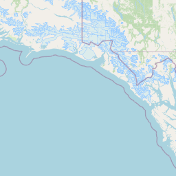
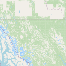
Distance Map Between Juneau and White Rock
Juneau, United States ↔ White Rock, Victoria, Canada = 796 miles = 1281 km.


How far is it between Juneau and White Rock
Juneau is located in United States with (58.3019,-134.4197) coordinates and White Rock is located in Canada with (49.0164,-122.8026) coordinates. The calculated flying distance from Juneau to White Rock is equal to 796 miles which is equal to 1281 km.
If you want to go by car, the driving distance between Juneau and White Rock is 2659.63 km. If you ride your car with an average speed of 112 kilometers/hour (70 miles/h), travel time will be 23 hours 44 minutes. Please check the avg. speed travel time table on the right for various options.
Difference between fly and go by a car is 1379 km.
| City/Place | Latitude and Longitude | GPS Coordinates |
|---|---|---|
| Juneau | 58.3019, -134.4197 | 58° 18´ 6.9840'' N 134° 25´ 10.9920'' W |
| White Rock | 49.0164, -122.8026 | 49° 0´ 58.8960'' N 122° 48´ 9.3600'' W |
Estimated Travel Time Between Juneau and White Rock
| Average Speed | Travel Time |
|---|---|
| 30 mph (48 km/h) | 55 hours 24 minutes |
| 40 mph (64 km/h) | 41 hours 33 minutes |
| 50 mph (80 km/h) | 33 hours 14 minutes |
| 60 mph (97 km/h) | 27 hours 25 minutes |
| 70 mph (112 km/h) | 23 hours 44 minutes |
| 75 mph (120 km/h) | 22 hours 09 minutes |
Related Distances from Juneau
| Cities | Distance |
|---|---|
| Juneau to Vancouver | 2644 km |
| Juneau to Victoria | 2733 km |
| Juneau to Prince George | 1863 km |
| Juneau to Kelowna | 2572 km |
| Juneau to Kamloops | 2384 km |
Related Distances to White Rock
| Cities | Distance |
|---|---|
| Seattle to White Rock | 184 km |
| Albuquerque to White Rock | 2484 km |
| Los Angeles to White Rock | 2010 km |
| Juneau to White Rock | 2660 km |
| Oakland to White Rock | 1473 km |