Distance from Kafue to Kasama
Distance between Kafue and Kasama is 698 kilometers (434 miles).
Driving distance from Kafue to Kasama is 903 kilometers (561 miles).
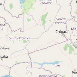
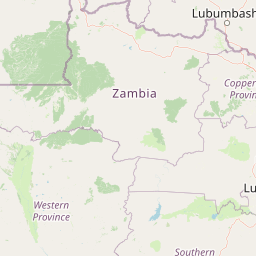
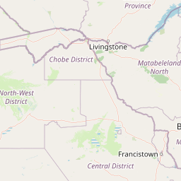
Distance Map Between Kafue and Kasama
Kafue, Lusaka, Zambia ↔ Kasama, Zambia = 434 miles = 698 km.

How far is it between Kafue and Kasama
Kafue is located in Zambia with (-15.7691,28.1814) coordinates and Kasama is located in Zambia with (-10.2129,31.1808) coordinates. The calculated flying distance from Kafue to Kasama is equal to 434 miles which is equal to 698 km.
If you want to go by car, the driving distance between Kafue and Kasama is 903.05 km. If you ride your car with an average speed of 112 kilometers/hour (70 miles/h), travel time will be 08 hours 03 minutes. Please check the avg. speed travel time table on the right for various options.
Difference between fly and go by a car is 205 km.
| City/Place | Latitude and Longitude | GPS Coordinates |
|---|---|---|
| Kafue | -15.7691, 28.1814 | 15° 46´ 8.7960'' S 28° 10´ 52.8960'' E |
| Kasama | -10.2129, 31.1808 | 10° 12´ 46.4040'' S 31° 10´ 51.0240'' E |
Estimated Travel Time Between Kafue and Kasama
| Average Speed | Travel Time |
|---|---|
| 30 mph (48 km/h) | 18 hours 48 minutes |
| 40 mph (64 km/h) | 14 hours 06 minutes |
| 50 mph (80 km/h) | 11 hours 17 minutes |
| 60 mph (97 km/h) | 09 hours 18 minutes |
| 70 mph (112 km/h) | 08 hours 03 minutes |
| 75 mph (120 km/h) | 07 hours 31 minutes |
Related Distances from Kafue
| Cities | Distance |
|---|---|
| Kafue to Lusaka | 46 km |
| Kafue to Livingstone | 430 km |
| Kafue to Ndola | 365 km |
| Kafue to Kasama | 903 km |
| Kafue to Mansa 2 | 807 km |
Related Distances to Kasama
| Cities | Distance |
|---|---|
| Lusaka to Kasama | 859 km |
| Mansa 2 to Kasama | 343 km |
| Ndola to Kasama | 721 km |
| Kabwe to Kasama | 721 km |
| Livingstone to Kasama | 1334 km |