Distance from Kalamazoo to Ann Arbor
Distance between Kalamazoo and Ann Arbor is 152 kilometers (94 miles).
Driving distance from Kalamazoo to Ann Arbor is 159 kilometers (99 miles).
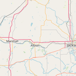
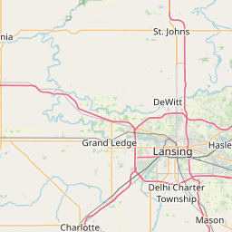
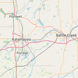
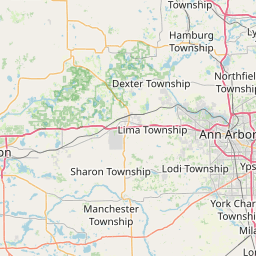
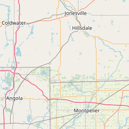
Distance Map Between Kalamazoo and Ann Arbor
Kalamazoo, Lansing, United States ↔ Ann Arbor, Lansing, United States = 94 miles = 152 km.

How far is it between Kalamazoo and Ann Arbor
Kalamazoo is located in United States with (42.2917,-85.5872) coordinates and Ann Arbor is located in United States with (42.2776,-83.7409) coordinates. The calculated flying distance from Kalamazoo to Ann Arbor is equal to 94 miles which is equal to 152 km.
If you want to go by car, the driving distance between Kalamazoo and Ann Arbor is 158.7 km. If you ride your car with an average speed of 112 kilometers/hour (70 miles/h), travel time will be 01 hours 25 minutes. Please check the avg. speed travel time table on the right for various options.
Difference between fly and go by a car is 7 km.
| City/Place | Latitude and Longitude | GPS Coordinates |
|---|---|---|
| Kalamazoo | 42.2917, -85.5872 | 42° 17´ 30.1560'' N 85° 35´ 14.0280'' W |
| Ann Arbor | 42.2776, -83.7409 | 42° 16´ 39.2160'' N 83° 44´ 27.1680'' W |
Estimated Travel Time Between Kalamazoo and Ann Arbor
| Average Speed | Travel Time |
|---|---|
| 30 mph (48 km/h) | 03 hours 18 minutes |
| 40 mph (64 km/h) | 02 hours 28 minutes |
| 50 mph (80 km/h) | 01 hours 59 minutes |
| 60 mph (97 km/h) | 01 hours 38 minutes |
| 70 mph (112 km/h) | 01 hours 25 minutes |
| 75 mph (120 km/h) | 01 hours 19 minutes |
Related Distances from Kalamazoo
| Cities | Distance |
|---|---|
| Kalamazoo to Grand Rapids | 81 km |
| Kalamazoo to Ann Arbor | 159 km |
| Kalamazoo to Detroit | 225 km |
| Kalamazoo to Battle Creek | 43 km |
| Kalamazoo to Jackson 4 | 106 km |
Related Distances to Ann Arbor
| Cities | Distance |
|---|---|
| Detroit to Ann Arbor | 70 km |
| East Lansing to Ann Arbor | 104 km |
| Kalamazoo to Ann Arbor | 159 km |
| Taylor to Ann Arbor | 47 km |
| Grand Rapids to Ann Arbor | 213 km |