Distance from Kalamazoo to Holt
Distance between Kalamazoo and Holt is 96 kilometers (60 miles).
Driving distance from Kalamazoo to Holt is 119 kilometers (74 miles).
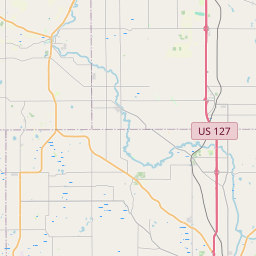
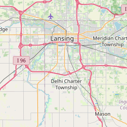
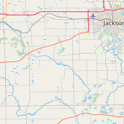
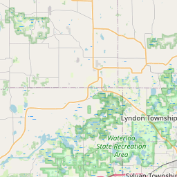
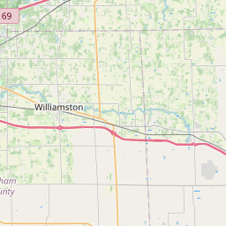
Distance Map Between Kalamazoo and Holt
Kalamazoo, Lansing, United States ↔ Holt, Lansing, United States = 60 miles = 96 km.


How far is it between Kalamazoo and Holt
Kalamazoo is located in United States with (42.2917,-85.5872) coordinates and Holt is located in United States with (42.6406,-84.5153) coordinates. The calculated flying distance from Kalamazoo to Holt is equal to 60 miles which is equal to 96 km.
If you want to go by car, the driving distance between Kalamazoo and Holt is 118.53 km. If you ride your car with an average speed of 112 kilometers/hour (70 miles/h), travel time will be 01 hours 03 minutes. Please check the avg. speed travel time table on the right for various options.
Difference between fly and go by a car is 23 km.
| City/Place | Latitude and Longitude | GPS Coordinates |
|---|---|---|
| Kalamazoo | 42.2917, -85.5872 | 42° 17´ 30.1560'' N 85° 35´ 14.0280'' W |
| Holt | 42.6406, -84.5153 | 42° 38´ 26.1240'' N 84° 30´ 54.9000'' W |
Estimated Travel Time Between Kalamazoo and Holt
| Average Speed | Travel Time |
|---|---|
| 30 mph (48 km/h) | 02 hours 28 minutes |
| 40 mph (64 km/h) | 01 hours 51 minutes |
| 50 mph (80 km/h) | 01 hours 28 minutes |
| 60 mph (97 km/h) | 01 hours 13 minutes |
| 70 mph (112 km/h) | 01 hours 03 minutes |
| 75 mph (120 km/h) | 00 hours 59 minutes |
Related Distances from Kalamazoo
| Cities | Distance |
|---|---|
| Kalamazoo to Adrian | 166 km |
| Kalamazoo to Allen Park | 209 km |
| Kalamazoo to Allendale | 105 km |
| Kalamazoo to Ann Arbor | 159 km |
| Kalamazoo to Auburn Hills | 244 km |
| Kalamazoo to Battle Creek | 43 km |
| Kalamazoo to Bay City | 283 km |
| Kalamazoo to Birmingham 3 | 228 km |
| Kalamazoo to Burton | 216 km |
| Kalamazoo to Canton | 184 km |
Related Distances to Holt
| Cities | Distance |
|---|---|
| Ronkonkoma to Holtsville | 7 km |
| North Tonawanda to Holtsville | 727 km |
| Saginaw to Holt | 130 km |
| Lake Ronkonkoma to Holtsville | 11 km |
| North Bellmore to Holtsville | 51 km |
| Westbury to Holtsville | 49 km |
| Huntington 2 to Holtsville | 38 km |
| Massapequa Park to Holtsville | 43 km |
| Staten Island to Holtsville | 118 km |
| Livonia to Holt | 122 km |