Distance from Kalol to Nadiad
Distance between Kalol and Nadiad is 62 kilometers (39 miles).
Driving distance from Kalol to Nadiad is 104 kilometers (64 miles).
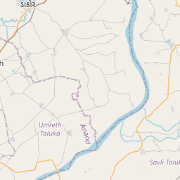
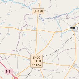
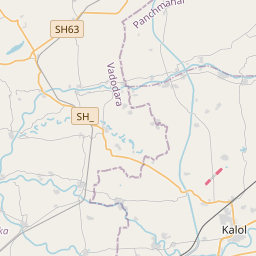
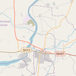
Distance Map Between Kalol and Nadiad
Kalol, Ghandinagar, India ↔ Nadiad, Ghandinagar, India = 39 miles = 62 km.


How far is it between Kālol and Nadiād
Kalol is located in India with (22.6078,73.4627) coordinates and Nadiad is located in India with (22.6939,72.8616) coordinates. The calculated flying distance from Kalol to Nadiad is equal to 39 miles which is equal to 62 km.
If you want to go by car, the driving distance between Kalol and Nadiad is 103.59 km. If you ride your car with an average speed of 112 kilometers/hour (70 miles/h), travel time will be 00 hours 55 minutes. Please check the avg. speed travel time table on the right for various options.
Difference between fly and go by a car is 42 km.
| City/Place | Latitude and Longitude | GPS Coordinates |
|---|---|---|
| Kalol | 22.6078, 73.4627 | 22° 36´ 27.9720'' N 73° 27´ 45.7920'' E |
| Nadiad | 22.6939, 72.8616 | 22° 41´ 37.8600'' N 72° 51´ 41.6520'' E |
Estimated Travel Time Between Kālol and Nadiād
| Average Speed | Travel Time |
|---|---|
| 30 mph (48 km/h) | 02 hours 09 minutes |
| 40 mph (64 km/h) | 01 hours 37 minutes |
| 50 mph (80 km/h) | 01 hours 17 minutes |
| 60 mph (97 km/h) | 01 hours 04 minutes |
| 70 mph (112 km/h) | 00 hours 55 minutes |
| 75 mph (120 km/h) | 00 hours 51 minutes |
Related Distances from Kalol
| Cities | Distance |
|---|---|
| Kalol to Vadodara | 53 km |
| Kalol to Mansa 3 | 165 km |
| Kalol to Vijapur | 207 km |
| Kalol to Patan 2 | 255 km |
| Kalol to Kheda | 104 km |
Related Distances to Nadiad
| Cities | Distance |
|---|---|
| Ahmedabad to Nadiad | 57 km |
| Kapadvanj to Nadiad | 44 km |
| Dholka to Nadiad | 48 km |
| Khambhat to Nadiad | 57 km |
| Borsad to Nadiad | 45 km |