Distance from Kamal to Kediri
Distance between Kamal and Kediri is 106 kilometers (66 miles).
Driving distance from Kamal to Kediri is 152 kilometers (95 miles).
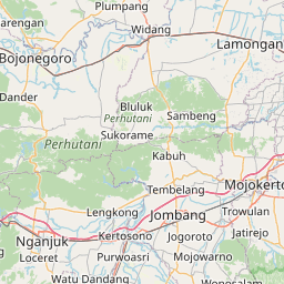
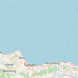
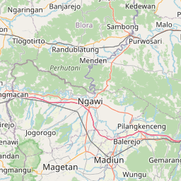
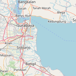
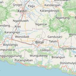
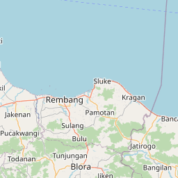
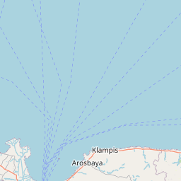
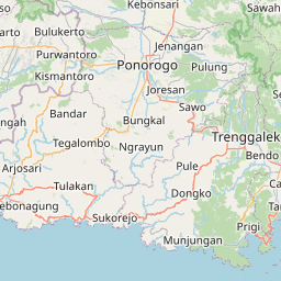
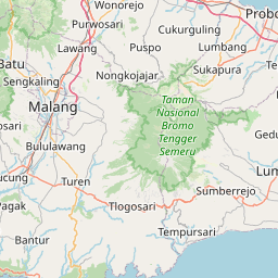
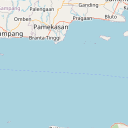
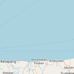
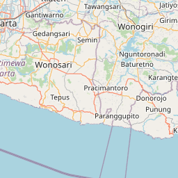
Distance Map Between Kamal and Kediri
Kamal, Surabaya, Indonesia ↔ Kediri, Surabaya, Indonesia = 66 miles = 106 km.

How far is it between Kamal and Kediri
Kamal is located in Indonesia with (-7.1678,112.7192) coordinates and Kediri is located in Indonesia with (-7.8167,112.0167) coordinates. The calculated flying distance from Kamal to Kediri is equal to 66 miles which is equal to 106 km.
If you want to go by car, the driving distance between Kamal and Kediri is 152.39 km. If you ride your car with an average speed of 112 kilometers/hour (70 miles/h), travel time will be 01 hours 21 minutes. Please check the avg. speed travel time table on the right for various options.
Difference between fly and go by a car is 46 km.
| City/Place | Latitude and Longitude | GPS Coordinates |
|---|---|---|
| Kamal | -7.1678, 112.7192 | 7° 10´ 4.0080'' S 112° 43´ 9.0120'' E |
| Kediri | -7.8167, 112.0167 | 7° 49´ 0.0120'' S 112° 1´ 0.0120'' E |
Estimated Travel Time Between Kamal and Kediri
| Average Speed | Travel Time |
|---|---|
| 30 mph (48 km/h) | 03 hours 10 minutes |
| 40 mph (64 km/h) | 02 hours 22 minutes |
| 50 mph (80 km/h) | 01 hours 54 minutes |
| 60 mph (97 km/h) | 01 hours 34 minutes |
| 70 mph (112 km/h) | 01 hours 21 minutes |
| 75 mph (120 km/h) | 01 hours 16 minutes |
Related Distances from Kamal
| Cities | Distance |
|---|---|
| Kamal to Pamekasan | 113 km |
| Kamal to Sampang | 67 km |
| Kamal to Sumenep | 160 km |
| Kamal to Malang | 129 km |
| Kamal to Ngoro | 114 km |
Related Distances to Kediri
| Cities | Distance |
|---|---|
| Jember to Kediri | 266 km |
| Jakarta to Kediri | 712 km |
| Bondowoso to Kediri | 262 km |
| Gresik to Kediri | 134 km |
| Blitar to Kediri | 44 km |