Distance from Kamal to Muncar
Distance between Kamal and Muncar is 227 kilometers (141 miles).
Driving distance from Kamal to Muncar is 326 kilometers (203 miles).
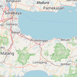
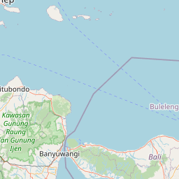
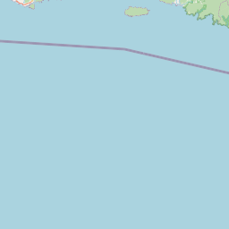
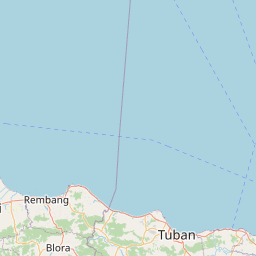
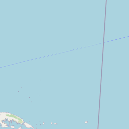
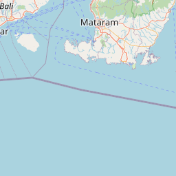
Distance Map Between Kamal and Muncar
Kamal, Surabaya, Indonesia ↔ Muncar, Surabaya, Indonesia = 141 miles = 227 km.


How far is it between Kamal and Muncar
Kamal is located in Indonesia with (-7.1678,112.7192) coordinates and Muncar is located in Indonesia with (-8.4333,114.3333) coordinates. The calculated flying distance from Kamal to Muncar is equal to 141 miles which is equal to 227 km.
If you want to go by car, the driving distance between Kamal and Muncar is 325.97 km. If you ride your car with an average speed of 112 kilometers/hour (70 miles/h), travel time will be 02 hours 54 minutes. Please check the avg. speed travel time table on the right for various options.
Difference between fly and go by a car is 99 km.
| City/Place | Latitude and Longitude | GPS Coordinates |
|---|---|---|
| Kamal | -7.1678, 112.7192 | 7° 10´ 4.0080'' S 112° 43´ 9.0120'' E |
| Muncar | -8.4333, 114.3333 | 8° 25´ 59.9880'' S 114° 19´ 59.9880'' E |
Estimated Travel Time Between Kamal and Muncar
| Average Speed | Travel Time |
|---|---|
| 30 mph (48 km/h) | 06 hours 47 minutes |
| 40 mph (64 km/h) | 05 hours 05 minutes |
| 50 mph (80 km/h) | 04 hours 04 minutes |
| 60 mph (97 km/h) | 03 hours 21 minutes |
| 70 mph (112 km/h) | 02 hours 54 minutes |
| 75 mph (120 km/h) | 02 hours 42 minutes |
Related Distances from Kamal
| Cities | Distance |
|---|---|
| Kamal to Pamekasan | 113 km |
| Kamal to Sampang | 67 km |
| Kamal to Sumenep | 160 km |
| Kamal to Malang | 129 km |
| Kamal to Ngoro | 114 km |
Related Distances to Muncar
| Cities | Distance |
|---|---|
| Genteng to Muncar | 26 km |
| Banyuwangi to Muncar | 32 km |
| Bondowoso to Muncar | 121 km |
| Madiun to Muncar | 409 km |
| Lumajang to Muncar | 157 km |