Distance from Kamal to Panarukan
Distance between Kamal and Panarukan is 145 kilometers (90 miles).
Driving distance from Kamal to Panarukan is 220 kilometers (137 miles).
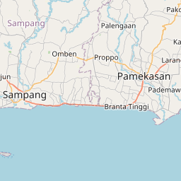
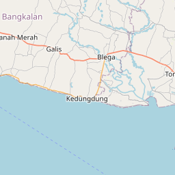
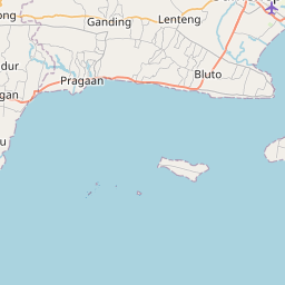
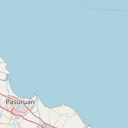
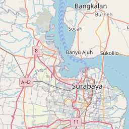
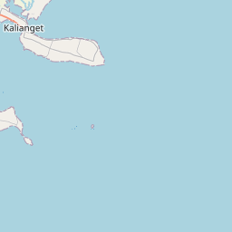
Distance Map Between Kamal and Panarukan
Kamal, Surabaya, Indonesia ↔ Panarukan, Surabaya, Indonesia = 90 miles = 145 km.

How far is it between Kamal and Panarukan
Kamal is located in Indonesia with (-7.1678,112.7192) coordinates and Panarukan is located in Indonesia with (-7.7018,113.9184) coordinates. The calculated flying distance from Kamal to Panarukan is equal to 90 miles which is equal to 145 km.
If you want to go by car, the driving distance between Kamal and Panarukan is 220.38 km. If you ride your car with an average speed of 112 kilometers/hour (70 miles/h), travel time will be 01 hours 58 minutes. Please check the avg. speed travel time table on the right for various options.
Difference between fly and go by a car is 75 km.
| City/Place | Latitude and Longitude | GPS Coordinates |
|---|---|---|
| Kamal | -7.1678, 112.7192 | 7° 10´ 4.0080'' S 112° 43´ 9.0120'' E |
| Panarukan | -7.7018, 113.9184 | 7° 42´ 6.5160'' S 113° 55´ 6.3840'' E |
Estimated Travel Time Between Kamal and Panarukan
| Average Speed | Travel Time |
|---|---|
| 30 mph (48 km/h) | 04 hours 35 minutes |
| 40 mph (64 km/h) | 03 hours 26 minutes |
| 50 mph (80 km/h) | 02 hours 45 minutes |
| 60 mph (97 km/h) | 02 hours 16 minutes |
| 70 mph (112 km/h) | 01 hours 58 minutes |
| 75 mph (120 km/h) | 01 hours 50 minutes |
Related Distances from Kamal
| Cities | Distance |
|---|---|
| Kamal to Pamekasan | 113 km |
| Kamal to Sampang | 67 km |
| Kamal to Sumenep | 160 km |
| Kamal to Malang | 129 km |
| Kamal to Ngoro | 114 km |
Related Distances to Panarukan
| Cities | Distance |
|---|---|
| Banyuwangi to Panarukan | 110 km |
| Malang to Panarukan | 175 km |
| Besuki to Panarukan | 28 km |
| Babat to Panarukan | 256 km |
| Kediri to Panarukan | 259 km |