Distance from Kamal to Tuban
Distance between Kamal and Tuban is 78 kilometers (49 miles).
Driving distance from Kamal to Tuban is 127 kilometers (79 miles).
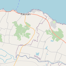
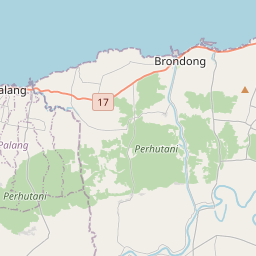
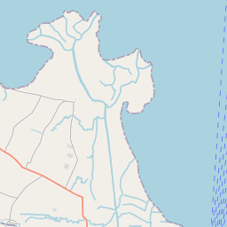
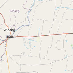
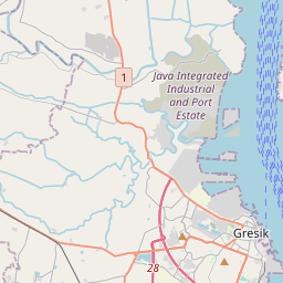
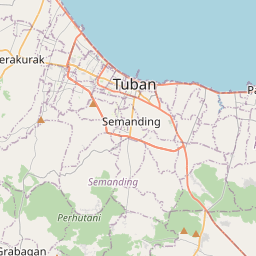
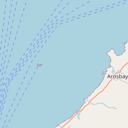
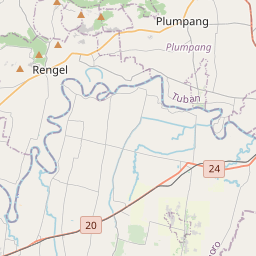
Distance Map Between Kamal and Tuban
Kamal, Surabaya, Indonesia ↔ Tuban, Surabaya, Indonesia = 49 miles = 78 km.


How far is it between Kamal and Tuban
Kamal is located in Indonesia with (-7.1678,112.7192) coordinates and Tuban is located in Indonesia with (-6.8976,112.0649) coordinates. The calculated flying distance from Kamal to Tuban is equal to 49 miles which is equal to 78 km.
If you want to go by car, the driving distance between Kamal and Tuban is 126.94 km. If you ride your car with an average speed of 112 kilometers/hour (70 miles/h), travel time will be 01 hours 08 minutes. Please check the avg. speed travel time table on the right for various options.
Difference between fly and go by a car is 49 km.
| City/Place | Latitude and Longitude | GPS Coordinates |
|---|---|---|
| Kamal | -7.1678, 112.7192 | 7° 10´ 4.0080'' S 112° 43´ 9.0120'' E |
| Tuban | -6.8976, 112.0649 | 6° 53´ 51.3600'' S 112° 3´ 53.6400'' E |
Estimated Travel Time Between Kamal and Tuban
| Average Speed | Travel Time |
|---|---|
| 30 mph (48 km/h) | 02 hours 38 minutes |
| 40 mph (64 km/h) | 01 hours 59 minutes |
| 50 mph (80 km/h) | 01 hours 35 minutes |
| 60 mph (97 km/h) | 01 hours 18 minutes |
| 70 mph (112 km/h) | 01 hours 08 minutes |
| 75 mph (120 km/h) | 01 hours 03 minutes |
Related Distances from Kamal
| Cities | Distance |
|---|---|
| Kamal to Pamekasan | 113 km |
| Kamal to Sampang | 67 km |
| Kamal to Sumenep | 160 km |
| Kamal to Malang | 129 km |
| Kamal to Ngoro | 114 km |
Related Distances to Tuban
| Cities | Distance |
|---|---|
| Mojokerto to Tuban | 95 km |
| Bojonegoro to Tuban | 42 km |
| Blitar to Tuban | 166 km |
| Kediri to Tuban | 125 km |
| Gresik to Tuban | 84 km |