Distance from Kandhla to Mawana
Distance between Kandhla and Mawana is 68 kilometers (42 miles).
Driving distance from Kandhla to Mawana is 79 kilometers (49 miles).
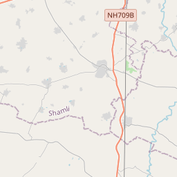
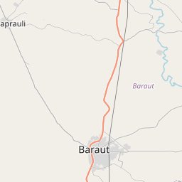
Distance Map Between Kandhla and Mawana
Kandhla, Lucknow, India ↔ Mawana, Lucknow, India = 42 miles = 68 km.


How far is it between Kāndhla and Mawāna
Kandhla is located in India with (29.321,77.2699) coordinates and Mawana is located in India with (29.1044,77.9213) coordinates. The calculated flying distance from Kandhla to Mawana is equal to 42 miles which is equal to 68 km.
If you want to go by car, the driving distance between Kandhla and Mawana is 78.81 km. If you ride your car with an average speed of 112 kilometers/hour (70 miles/h), travel time will be 00 hours 42 minutes. Please check the avg. speed travel time table on the right for various options.
Difference between fly and go by a car is 11 km.
| City/Place | Latitude and Longitude | GPS Coordinates |
|---|---|---|
| Kandhla | 29.321, 77.2699 | 29° 19´ 15.6720'' N 77° 16´ 11.6040'' E |
| Mawana | 29.1044, 77.9213 | 29° 6´ 15.6960'' N 77° 55´ 16.8240'' E |
Estimated Travel Time Between Kāndhla and Mawāna
| Average Speed | Travel Time |
|---|---|
| 30 mph (48 km/h) | 01 hours 38 minutes |
| 40 mph (64 km/h) | 01 hours 13 minutes |
| 50 mph (80 km/h) | 00 hours 59 minutes |
| 60 mph (97 km/h) | 00 hours 48 minutes |
| 70 mph (112 km/h) | 00 hours 42 minutes |
| 75 mph (120 km/h) | 00 hours 39 minutes |
Related Distances from Kandhla
| Cities | Distance |
|---|---|
| Kandhla to Kannauj | 510 km |
| Kandhla to Kanpur | 580 km |
| Kandhla to Khatauli | 48 km |
| Kandhla to Khurja | 155 km |
| Kandhla to Lakhimpur | 445 km |
| Kandhla to Lalitpur | 626 km |
| Kandhla to Loni | 68 km |
| Kandhla to Mainpuri | 422 km |
| Kandhla to Mathura | 253 km |
| Kandhla to Mawana | 79 km |
Related Distances to Mawana
| Cities | Distance |
|---|---|
| Kairana to Mawana | 94 km |
| Bulandshahr to Mawana | 96 km |
| Deoband to Mawana | 86 km |
| Ghaziabad to Mawana | 87 km |
| Hathras to Mawana | 202 km |
| Gajraula to Mawana | 69 km |
| Greater Noida to Mawana | 112 km |
| Kandhla to Mawana | 79 km |
| Noida to Mawana | 104 km |
| Dhampur to Mawana | 89 km |