Distance from Kano to Abomey
Distance between Kano and Abomey is 894 kilometers (555 miles).
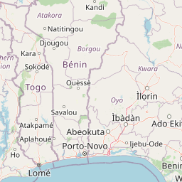
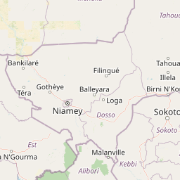
Distance Map Between Kano and Abomey
Kano, Nigeria ↔ Abomey, Benin = 555 miles = 894 km.


Leaflet | © OpenStreetMap
How far is it between Kano and Abomey
Kano is located in Nigeria with (12.0001,8.5167) coordinates and Abomey is located in Benin with (7.1829,1.9912) coordinates. The calculated flying distance from Kano to Abomey is equal to 555 miles which is equal to 894 km.
| City/Place | Latitude and Longitude | GPS Coordinates |
|---|---|---|
| Kano | 12.0001, 8.5167 | 12° 0´ 0.4320'' N 8° 31´ 0.1920'' E |
| Abomey | 7.1829, 1.9912 | 7° 10´ 58.2960'' N 1° 59´ 28.2840'' E |
Kano, Nigeria
Related Distances from Kano
| Cities | Distance |
|---|---|
| Kano to Cotonou | 1121 km |
| Kano to Porto Novo | 1221 km |
| Kano to Kandi | 830 km |
| Kano to Abomey Calavi | 1250 km |
| Kano to Parakou | 915 km |
Abomey, Benin
Related Distances to Abomey
| Cities | Distance |
|---|---|
| Zaria to Abomey Calavi | 1101 km |
| Benin City to Abomey | 488 km |
| Dutse to Abomey Calavi | 1348 km |
| Kano to Abomey Calavi | 1250 km |
| Lagos to Abomey | 255 km |