Distance from Kant to Mashhad
Distance between Kant and Mashhad is 1496 kilometers (930 miles).
Driving distance from Kant to Mashhad is 2095 kilometers (1302 miles).
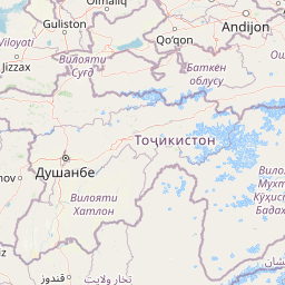
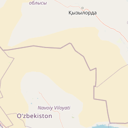
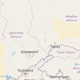
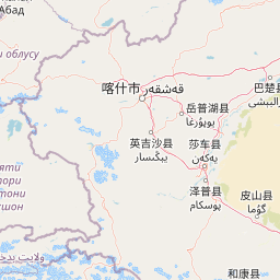
Distance Map Between Kant and Mashhad
Kant, Bishkek, Kyrgyzstan ↔ Mashhad, Iran = 930 miles = 1496 km.


How far is it between Kant and Mashhad
Kant is located in Kyrgyzstan with (42.8911,74.8508) coordinates and Mashhad is located in Iran with (36.3156,59.568) coordinates. The calculated flying distance from Kant to Mashhad is equal to 930 miles which is equal to 1496 km.
If you want to go by car, the driving distance between Kant and Mashhad is 2095.44 km. If you ride your car with an average speed of 112 kilometers/hour (70 miles/h), travel time will be 18 hours 42 minutes. Please check the avg. speed travel time table on the right for various options.
Difference between fly and go by a car is 599 km.
| City/Place | Latitude and Longitude | GPS Coordinates |
|---|---|---|
| Kant | 42.8911, 74.8508 | 42° 53´ 27.8160'' N 74° 51´ 2.7720'' E |
| Mashhad | 36.3156, 59.568 | 36° 18´ 56.1240'' N 59° 34´ 4.6560'' E |
Estimated Travel Time Between Kant and Mashhad
| Average Speed | Travel Time |
|---|---|
| 30 mph (48 km/h) | 43 hours 39 minutes |
| 40 mph (64 km/h) | 32 hours 44 minutes |
| 50 mph (80 km/h) | 26 hours 11 minutes |
| 60 mph (97 km/h) | 21 hours 36 minutes |
| 70 mph (112 km/h) | 18 hours 42 minutes |
| 75 mph (120 km/h) | 17 hours 27 minutes |
Related Distances to Mashhad
| Cities | Distance |
|---|---|
| Bishkek to Mashhad | 1930 km |
| Tokmok to Mashhad | 2034 km |
| Kant 2 to Mashhad | 2095 km |
| At Bashi to Mashhad | 2063 km |
| Jalal Abad to Mashhad | 1682 km |