Distance from Kapren to Kota
Distance between Kapren and Kota is 34 kilometers (21 miles).
Driving distance from Kapren to Kota is 41 kilometers (25 miles).
Distance Map Between Kapren and Kota
Kapren, Jaipur, India ↔ Kota, Jaipur, India = 21 miles = 34 km.
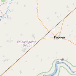

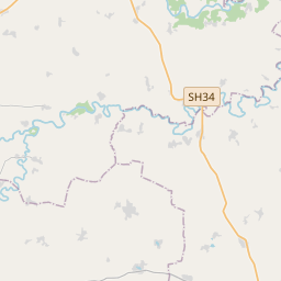
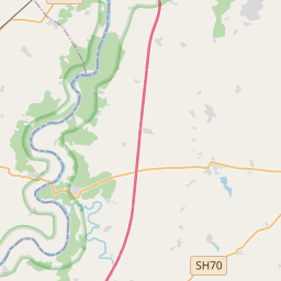


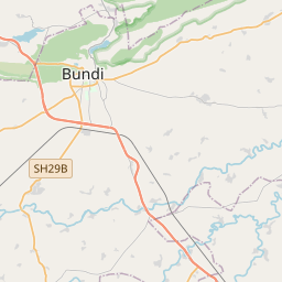
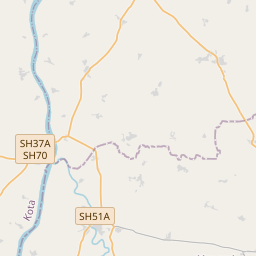


Leaflet | © OpenStreetMap
How far is it between Kāpren and Kota
Kapren is located in India with (25.4053,76.0743) coordinates and Kota is located in India with (25.1825,75.8391) coordinates. The calculated flying distance from Kapren to Kota is equal to 21 miles which is equal to 34 km.
If you want to go by car, the driving distance between Kapren and Kota is 40.57 km. If you ride your car with an average speed of 112 kilometers/hour (70 miles/h), travel time will be 00 hours 21 minutes. Please check the avg. speed travel time table on the right for various options.
Difference between fly and go by a car is 7 km.
| City/Place | Latitude and Longitude | GPS Coordinates |
|---|---|---|
| Kapren | 25.4053, 76.0743 | 25° 24´ 19.0440'' N 76° 4´ 27.5160'' E |
| Kota | 25.1825, 75.8391 | 25° 10´ 57.1440'' N 75° 50´ 20.6520'' E |
Estimated Travel Time Between Kāpren and Kota
| Average Speed | Travel Time |
|---|---|
| 30 mph (48 km/h) | 00 hours 50 minutes |
| 40 mph (64 km/h) | 00 hours 38 minutes |
| 50 mph (80 km/h) | 00 hours 30 minutes |
| 60 mph (97 km/h) | 00 hours 25 minutes |
| 70 mph (112 km/h) | 00 hours 21 minutes |
| 75 mph (120 km/h) | 00 hours 20 minutes |
Kapren, Jaipur, India
Related Distances from Kapren
| Cities | Distance |
|---|---|
| Kapren to Kota | 41 km |
| Kapren to Lakheri | 40 km |
| Kapren to Sawai Madhopur | 90 km |
| Kapren to Tonk | 115 km |
| Kapren to Udaipur 2 | 332 km |
Kota, Jaipur, India
Related Distances to Kota
| Cities | Distance |
|---|---|
| Anta to Kota | 52 km |
| Kekri to Kota | 129 km |
| Keshorai Patan to Kota | 22 km |
| Begun to Kota | 120 km |
| Kapren to Kota | 41 km |