Distance from Kebomas to Prigen
Distance between Kebomas and Prigen is 57 kilometers (36 miles).
Driving distance from Kebomas to Prigen is 77 kilometers (48 miles).
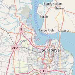
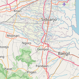
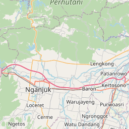
Distance Map Between Kebomas and Prigen
Kebomas, Surabaya, Indonesia ↔ Prigen, Surabaya, Indonesia = 36 miles = 57 km.

How far is it between Kebomas and Prigen
Kebomas is located in Indonesia with (-7.1667,112.6333) coordinates and Prigen is located in Indonesia with (-7.6833,112.6167) coordinates. The calculated flying distance from Kebomas to Prigen is equal to 36 miles which is equal to 57 km.
If you want to go by car, the driving distance between Kebomas and Prigen is 76.92 km. If you ride your car with an average speed of 112 kilometers/hour (70 miles/h), travel time will be 00 hours 41 minutes. Please check the avg. speed travel time table on the right for various options.
Difference between fly and go by a car is 20 km.
| City/Place | Latitude and Longitude | GPS Coordinates |
|---|---|---|
| Kebomas | -7.1667, 112.6333 | 7° 10´ 0.0120'' S 112° 37´ 59.8800'' E |
| Prigen | -7.6833, 112.6167 | 7° 40´ 59.9880'' S 112° 37´ 0.0120'' E |
Estimated Travel Time Between Kebomas and Prigen
| Average Speed | Travel Time |
|---|---|
| 30 mph (48 km/h) | 01 hours 36 minutes |
| 40 mph (64 km/h) | 01 hours 12 minutes |
| 50 mph (80 km/h) | 00 hours 57 minutes |
| 60 mph (97 km/h) | 00 hours 47 minutes |
| 70 mph (112 km/h) | 00 hours 41 minutes |
| 75 mph (120 km/h) | 00 hours 38 minutes |
Related Distances from Kebomas
| Cities | Distance |
|---|---|
| Kebomas to Kencong | 188 km |
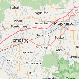
| Kebomas to Mojoagung | 68 km |
| Kebomas to Malang | 113 km |
| Kebomas to Krian | 35 km |
| Kebomas to Lamongan | 27 km |
Related Distances to Prigen
| Cities | Distance |
|---|---|
| Batu to Prigen | 47 km |
| Mojokerto to Prigen | 46 km |
| Kertosono to Prigen | 80 km |
| Jombang to Prigen | 66 km |
| Madiun to Prigen | 150 km |