Distance from Kedrovka to Semey
Distance between Kedrovka and Semey is 687 kilometers (427 miles).
Driving distance from Kedrovka to Semey is 884 kilometers (549 miles).
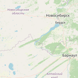
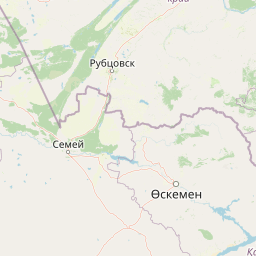
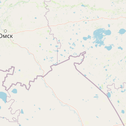
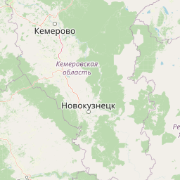
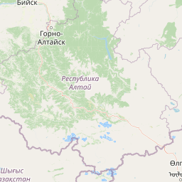
Distance Map Between Kedrovka and Semey
Kedrovka, Kemerovo, Russia ↔ Semey, Ust-Kamenogorsk, Kazakhstan = 427 miles = 687 km.


How far is it between Kedrovka and Semey
Kedrovka is located in Russia with (55.5333,86.05) coordinates and Semey is located in Kazakhstan with (50.4268,80.2667) coordinates. The calculated flying distance from Kedrovka to Semey is equal to 427 miles which is equal to 687 km.
If you want to go by car, the driving distance between Kedrovka and Semey is 884.03 km. If you ride your car with an average speed of 112 kilometers/hour (70 miles/h), travel time will be 07 hours 53 minutes. Please check the avg. speed travel time table on the right for various options.
Difference between fly and go by a car is 197 km.
| City/Place | Latitude and Longitude | GPS Coordinates |
|---|---|---|
| Kedrovka | 55.5333, 86.05 | 55° 31´ 59.9880'' N 86° 2´ 60.0000'' E |
| Semey | 50.4268, 80.2667 | 50° 25´ 36.3000'' N 80° 16´ 0.0840'' E |
Estimated Travel Time Between Kedrovka and Semey
| Average Speed | Travel Time |
|---|---|
| 30 mph (48 km/h) | 18 hours 25 minutes |
| 40 mph (64 km/h) | 13 hours 48 minutes |
| 50 mph (80 km/h) | 11 hours 03 minutes |
| 60 mph (97 km/h) | 09 hours 06 minutes |
| 70 mph (112 km/h) | 07 hours 53 minutes |
| 75 mph (120 km/h) | 07 hours 22 minutes |
Related Distances from Kedrovka
| Cities | Distance |
|---|---|
| Kedrovka to Taraz | 2443 km |
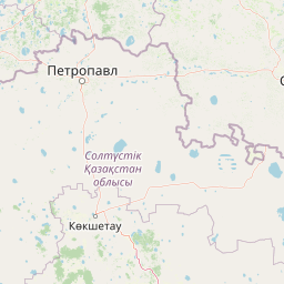
| Kedrovka to Petropavlovsk | 1209 km |
| Kedrovka to Taldyqorghan | 1787 km |
| Kedrovka to Karagandy | 1352 km |
| Kedrovka to Shymkent | 2622 km |
Related Distances to Semey
| Cities | Distance |
|---|---|
| Omsk to Semey | 828 km |
| Ozersk to Semey | 1756 km |
| Novosibirsk to Semey | 679 km |
| Barnaul to Semey | 452 km |
| Chelyabinsk to Semey | 1710 km |