Distance from Keene to Ottawa
Distance between Keene and Ottawa is 388 kilometers (241 miles).
Driving distance from Keene to Ottawa is 584 kilometers (363 miles).
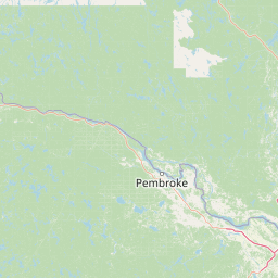
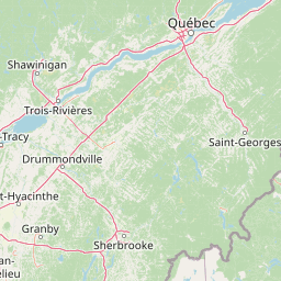
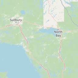
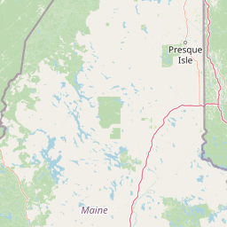
Distance Map Between Keene and Ottawa
Keene, Concord, United States ↔ Ottawa, Ontario, Canada = 241 miles = 388 km.


How far is it between Keene and Ottawa
Keene is located in United States with (42.9337,-72.2781) coordinates and Ottawa is located in Canada with (45.4112,-75.6981) coordinates. The calculated flying distance from Keene to Ottawa is equal to 241 miles which is equal to 388 km.
If you want to go by car, the driving distance between Keene and Ottawa is 584.49 km. If you ride your car with an average speed of 112 kilometers/hour (70 miles/h), travel time will be 05 hours 13 minutes. Please check the avg. speed travel time table on the right for various options.
Difference between fly and go by a car is 196 km.
| City/Place | Latitude and Longitude | GPS Coordinates |
|---|---|---|
| Keene | 42.9337, -72.2781 | 42° 56´ 1.2840'' N 72° 16´ 41.3040'' W |
| Ottawa | 45.4112, -75.6981 | 45° 24´ 40.2120'' N 75° 41´ 53.2320'' W |
Estimated Travel Time Between Keene and Ottawa
| Average Speed | Travel Time |
|---|---|
| 30 mph (48 km/h) | 12 hours 10 minutes |
| 40 mph (64 km/h) | 09 hours 07 minutes |
| 50 mph (80 km/h) | 07 hours 18 minutes |
| 60 mph (97 km/h) | 06 hours 01 minutes |
| 70 mph (112 km/h) | 05 hours 13 minutes |
| 75 mph (120 km/h) | 04 hours 52 minutes |
Related Distances from Keene
| Cities | Distance |
|---|---|
| Keene to Montreal | 393 km |
| Keene to Toronto | 778 km |
| Keene to Halifax | 1140 km |
| Keene to Richmond Hill | 794 km |
| Keene to Oshawa | 774 km |
Related Distances to Ottawa
| Cities | Distance |
|---|---|
| New York City to Ottawa | 708 km |
| Washington D C to Ottawa | 922 km |
| Niagara Falls 2 to Ottawa | 561 km |
| Boston to Ottawa | 690 km |
| Sudbury to Ottawa | 699 km |