Distance from Kemerovo to Tyumen
Distance between Kemerovo and Tyumen is 1281 kilometers (796 miles).
Driving distance from Kemerovo to Tyumen is 1535 kilometers (954 miles).
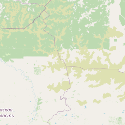
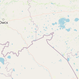
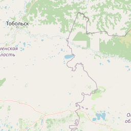
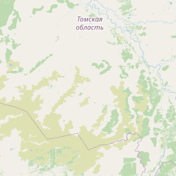
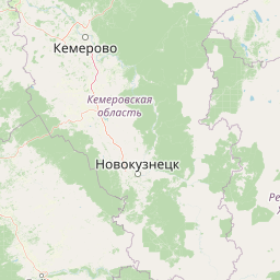
Distance Map Between Kemerovo and Tyumen
Kemerovo, Russia ↔ Tyumen, Russia = 796 miles = 1281 km.

How far is it between Kemerovo and Tyumen
Kemerovo is located in Russia with (55.3333,86.0833) coordinates and Tyumen is located in Russia with (57.1522,65.5272) coordinates. The calculated flying distance from Kemerovo to Tyumen is equal to 796 miles which is equal to 1281 km.
If you want to go by car, the driving distance between Kemerovo and Tyumen is 1534.66 km. If you ride your car with an average speed of 112 kilometers/hour (70 miles/h), travel time will be 13 hours 42 minutes. Please check the avg. speed travel time table on the right for various options.
Difference between fly and go by a car is 254 km.
| City/Place | Latitude and Longitude | GPS Coordinates |
|---|---|---|
| Kemerovo | 55.3333, 86.0833 | 55° 19´ 59.9880'' N 86° 4´ 59.9880'' E |
| Tyumen | 57.1522, 65.5272 | 57° 9´ 7.9920'' N 65° 31´ 37.9920'' E |
Estimated Travel Time Between Kemerovo and Tyumen
| Average Speed | Travel Time |
|---|---|
| 30 mph (48 km/h) | 31 hours 58 minutes |
| 40 mph (64 km/h) | 23 hours 58 minutes |
| 50 mph (80 km/h) | 19 hours 10 minutes |
| 60 mph (97 km/h) | 15 hours 49 minutes |
| 70 mph (112 km/h) | 13 hours 42 minutes |
| 75 mph (120 km/h) | 12 hours 47 minutes |
Related Distances from Kemerovo
| Cities | Distance |
|---|---|
| Kemerovo to Moscow | 3602 km |
| Kemerovo to Novosibirsk | 265 km |
| Kemerovo to Krasnoyarsk | 530 km |
| Kemerovo to Belgorod | 3834 km |
| Kemerovo to Omsk | 895 km |
Related Distances to Tyumen
| Cities | Distance |
|---|---|
| Novosibirsk to Tyumen | 1283 km |
| Vladivostok to Tyumen | 7061 km |
| Omsk to Tyumen | 629 km |
| Tomsk to Tyumen | 1537 km |
| Chelyabinsk to Tyumen | 418 km |