Distance from Kencong to Muncar
Distance between Kencong and Muncar is 108 kilometers (67 miles).
Driving distance from Kencong to Muncar is 144 kilometers (90 miles).
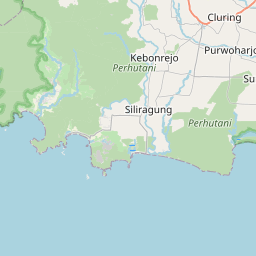
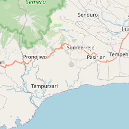
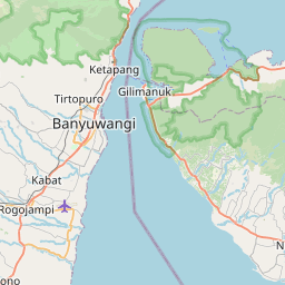
Distance Map Between Kencong and Muncar
Kencong, Surabaya, Indonesia ↔ Muncar, Surabaya, Indonesia = 67 miles = 108 km.
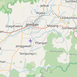
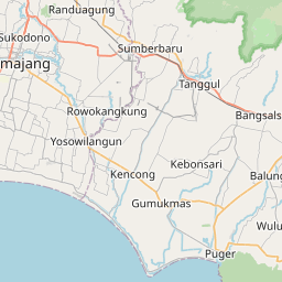
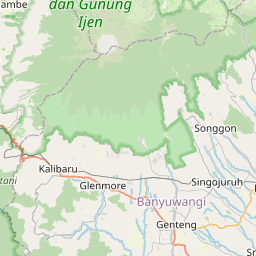


How far is it between Kencong and Muncar
Kencong is located in Indonesia with (-8.2833,113.3667) coordinates and Muncar is located in Indonesia with (-8.4333,114.3333) coordinates. The calculated flying distance from Kencong to Muncar is equal to 67 miles which is equal to 108 km.
If you want to go by car, the driving distance between Kencong and Muncar is 144.22 km. If you ride your car with an average speed of 112 kilometers/hour (70 miles/h), travel time will be 01 hours 17 minutes. Please check the avg. speed travel time table on the right for various options.
Difference between fly and go by a car is 36 km.
| City/Place | Latitude and Longitude | GPS Coordinates |
|---|---|---|
| Kencong | -8.2833, 113.3667 | 8° 16´ 59.9880'' S 113° 22´ 0.0120'' E |
| Muncar | -8.4333, 114.3333 | 8° 25´ 59.9880'' S 114° 19´ 59.9880'' E |
Estimated Travel Time Between Kencong and Muncar
| Average Speed | Travel Time |
|---|---|
| 30 mph (48 km/h) | 03 hours 00 minutes |
| 40 mph (64 km/h) | 02 hours 15 minutes |
| 50 mph (80 km/h) | 01 hours 48 minutes |
| 60 mph (97 km/h) | 01 hours 29 minutes |
| 70 mph (112 km/h) | 01 hours 17 minutes |
| 75 mph (120 km/h) | 01 hours 12 minutes |
Related Distances from Kencong
| Cities | Distance |
|---|---|
| Kencong to Ngunut | 197 km |
| Kencong to Situbondo | 118 km |
| Kencong to Sidoarjo | 151 km |
| Kencong to Malang | 134 km |
| Kencong to Pasuruan | 109 km |
Related Distances to Muncar
| Cities | Distance |
|---|---|
| Genteng to Muncar | 26 km |
| Banyuwangi to Muncar | 32 km |
| Bondowoso to Muncar | 121 km |
| Madiun to Muncar | 409 km |
| Lumajang to Muncar | 157 km |