Distance from Kencong to Prigen
Distance between Kencong and Prigen is 106 kilometers (66 miles).
Driving distance from Kencong to Prigen is 147 kilometers (91 miles).
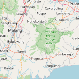
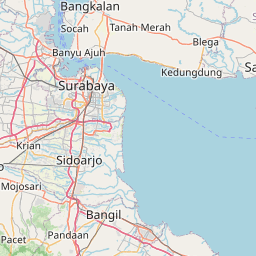
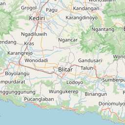
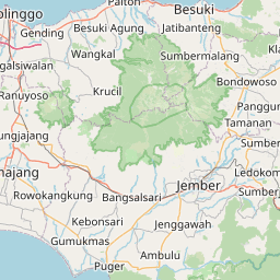
Distance Map Between Kencong and Prigen
Kencong, Surabaya, Indonesia ↔ Prigen, Surabaya, Indonesia = 66 miles = 106 km.


How far is it between Kencong and Prigen
Kencong is located in Indonesia with (-8.2833,113.3667) coordinates and Prigen is located in Indonesia with (-7.6833,112.6167) coordinates. The calculated flying distance from Kencong to Prigen is equal to 66 miles which is equal to 106 km.
If you want to go by car, the driving distance between Kencong and Prigen is 147.17 km. If you ride your car with an average speed of 112 kilometers/hour (70 miles/h), travel time will be 01 hours 18 minutes. Please check the avg. speed travel time table on the right for various options.
Difference between fly and go by a car is 41 km.
| City/Place | Latitude and Longitude | GPS Coordinates |
|---|---|---|
| Kencong | -8.2833, 113.3667 | 8° 16´ 59.9880'' S 113° 22´ 0.0120'' E |
| Prigen | -7.6833, 112.6167 | 7° 40´ 59.9880'' S 112° 37´ 0.0120'' E |
Estimated Travel Time Between Kencong and Prigen
| Average Speed | Travel Time |
|---|---|
| 30 mph (48 km/h) | 03 hours 03 minutes |
| 40 mph (64 km/h) | 02 hours 17 minutes |
| 50 mph (80 km/h) | 01 hours 50 minutes |
| 60 mph (97 km/h) | 01 hours 31 minutes |
| 70 mph (112 km/h) | 01 hours 18 minutes |
| 75 mph (120 km/h) | 01 hours 13 minutes |
Related Distances from Kencong
| Cities | Distance |
|---|---|
| Kencong to Ngunut | 197 km |
| Kencong to Situbondo | 118 km |
| Kencong to Sidoarjo | 151 km |
| Kencong to Malang | 134 km |
| Kencong to Pasuruan | 109 km |
Related Distances to Prigen
| Cities | Distance |
|---|---|
| Batu to Prigen | 47 km |
| Mojokerto to Prigen | 46 km |
| Kertosono to Prigen | 80 km |
| Jombang to Prigen | 66 km |
| Madiun to Prigen | 150 km |