Distance from Kendall to Ferry Pass
Distance between Kendall and Ferry Pass is 863 kilometers (536 miles).
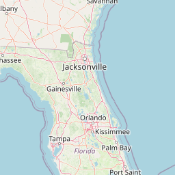
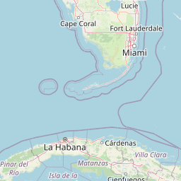
Distance Map Between Kendall and Ferry Pass
Kendall, Tallahassee, United States ↔ Ferry Pass, Tallahassee, United States = 536 miles = 863 km.


Leaflet | © OpenStreetMap
How far is it between Kendall and Ferry Pass
Kendall is located in United States with (25.6793,-80.3173) coordinates and Ferry Pass is located in United States with (30.5102,-87.2125) coordinates. The calculated flying distance from Kendall to Ferry Pass is equal to 536 miles which is equal to 863 km.
| City/Place | Latitude and Longitude | GPS Coordinates |
|---|---|---|
| Kendall | 25.6793, -80.3173 | 25° 40´ 45.3720'' N 80° 19´ 2.1720'' W |
| Ferry Pass | 30.5102, -87.2125 | 30° 30´ 36.7200'' N 87° 12´ 44.8920'' W |
Kendall, Tallahassee, United States
Related Distances from Kendall
| Cities | Distance |
|---|---|
| Kendall to Homestead | 39 km |
| Kendall to Doral | 21 km |
| Kendall to Boca Raton | 95 km |
| Kendall to Coral Gables | 9 km |
| Kendall to Aventura | 50 km |
Ferry Pass, Tallahassee, United States
Related Distances to Ferry Pass
| Cities | Distance |
|---|---|
| Pensacola to Ferry Pass | 12 km |
| Orlando to Ferry Pass | 715 km |
| Port Charlotte to Ferry Pass | 892 km |
| Homestead to Ferry Pass | 1130 km |
| West Palm Beach to Ferry Pass | 973 km |