Distance from Kenosha to Beloit
Distance between Kenosha and Beloit is 100 kilometers (62 miles).
Driving distance from Kenosha to Beloit is 113 kilometers (70 miles).
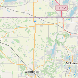
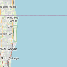
Distance Map Between Kenosha and Beloit
Kenosha, Madison, United States ↔ Beloit, Madison, United States = 62 miles = 100 km.


How far is it between Kenosha and Beloit
Kenosha is located in United States with (42.5847,-87.8212) coordinates and Beloit is located in United States with (42.5084,-89.0318) coordinates. The calculated flying distance from Kenosha to Beloit is equal to 62 miles which is equal to 100 km.
If you want to go by car, the driving distance between Kenosha and Beloit is 112.97 km. If you ride your car with an average speed of 112 kilometers/hour (70 miles/h), travel time will be 01 hours 00 minutes. Please check the avg. speed travel time table on the right for various options.
Difference between fly and go by a car is 13 km.
| City/Place | Latitude and Longitude | GPS Coordinates |
|---|---|---|
| Kenosha | 42.5847, -87.8212 | 42° 35´ 5.0640'' N 87° 49´ 16.2840'' W |
| Beloit | 42.5084, -89.0318 | 42° 30´ 30.0600'' N 89° 1´ 54.4080'' W |
Estimated Travel Time Between Kenosha and Beloit
| Average Speed | Travel Time |
|---|---|
| 30 mph (48 km/h) | 02 hours 21 minutes |
| 40 mph (64 km/h) | 01 hours 45 minutes |
| 50 mph (80 km/h) | 01 hours 24 minutes |
| 60 mph (97 km/h) | 01 hours 09 minutes |
| 70 mph (112 km/h) | 01 hours 00 minutes |
| 75 mph (120 km/h) | 00 hours 56 minutes |
Related Distances from Kenosha
| Cities | Distance |
|---|---|
| Kenosha to Appleton | 229 km |
| Kenosha to Beaver Dam | 163 km |
| Kenosha to Eau Claire | 452 km |
| Kenosha to Beloit | 113 km |
| Kenosha to Janesville | 114 km |
Related Distances to Beloit
| Cities | Distance |
|---|---|
| Milwaukee to Beloit | 122 km |
| Wisconsin Rapids to Beloit | 248 km |
| Kenosha to Beloit | 113 km |
| Green Bay to Beloit | 292 km |
| Racine to Beloit | 118 km |