Distance from Kent to Gatineau
Distance between Kent and Gatineau is 663 kilometers (412 miles).
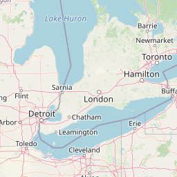
Distance Map Between Kent and Gatineau
Kent, Columbus, United States ↔ Gatineau, Quebec, Canada = 412 miles = 663 km.


Leaflet | © OpenStreetMap
How far is it between Kent and Gatineau
Kent is located in United States with (41.1537,-81.3579) coordinates and Gatineau is located in Canada with (45.4772,-75.7016) coordinates. The calculated flying distance from Kent to Gatineau is equal to 412 miles which is equal to 663 km.
| City/Place | Latitude and Longitude | GPS Coordinates |
|---|---|---|
| Kent | 41.1537, -81.3579 | 41° 9´ 13.2120'' N 81° 21´ 28.4040'' W |
| Gatineau | 45.4772, -75.7016 | 45° 28´ 38.0280'' N 75° 42´ 5.9040'' W |
Kent, Columbus, United States
Related Distances from Kent
| Cities | Distance |
|---|---|
| Kent 2 to London 2 | 501 km |
| Kent 2 to Windsor | 311 km |
| Kent 2 to Halifax | 2067 km |
| Kent 2 to Toronto | 512 km |
| Kent 2 to Winnipeg | 1977 km |
Gatineau, Quebec, Canada
Related Distances to Gatineau
| Cities | Distance |
|---|---|
| New York City to Gatineau | 718 km |
| Buffalo to Gatineau | 553 km |
| Boston to Gatineau | 695 km |
| Windsor 2 to Gatineau | 628 km |
| Niagara Falls 2 to Gatineau | 570 km |