Distance from Kent to Hilliard
Distance between Kent and Hilliard is 197 kilometers (122 miles).
Driving distance from Kent to Hilliard is 226 kilometers (140 miles).
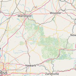
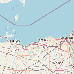
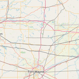
Distance Map Between Kent and Hilliard
Kent, Columbus, United States ↔ Hilliard, Columbus, United States = 122 miles = 197 km.


How far is it between Kent and Hilliard
Kent is located in United States with (41.1537,-81.3579) coordinates and Hilliard is located in United States with (40.0334,-83.1583) coordinates. The calculated flying distance from Kent to Hilliard is equal to 122 miles which is equal to 197 km.
If you want to go by car, the driving distance between Kent and Hilliard is 225.91 km. If you ride your car with an average speed of 112 kilometers/hour (70 miles/h), travel time will be 02 hours 01 minutes. Please check the avg. speed travel time table on the right for various options.
Difference between fly and go by a car is 29 km.
| City/Place | Latitude and Longitude | GPS Coordinates |
|---|---|---|
| Kent | 41.1537, -81.3579 | 41° 9´ 13.2120'' N 81° 21´ 28.4040'' W |
| Hilliard | 40.0334, -83.1583 | 40° 2´ 0.2400'' N 83° 9´ 29.7000'' W |
Estimated Travel Time Between Kent and Hilliard
| Average Speed | Travel Time |
|---|---|
| 30 mph (48 km/h) | 04 hours 42 minutes |
| 40 mph (64 km/h) | 03 hours 31 minutes |
| 50 mph (80 km/h) | 02 hours 49 minutes |
| 60 mph (97 km/h) | 02 hours 19 minutes |
| 70 mph (112 km/h) | 02 hours 01 minutes |
| 75 mph (120 km/h) | 01 hours 52 minutes |
Related Distances from Kent
| Cities | Distance |
|---|---|
| Kent 2 to Oxford 2 | 405 km |
| Kent 2 to Cincinnati | 383 km |
| Kent 2 to Akron | 23 km |
| Kent 2 to Cleveland | 61 km |
| Kent 2 to Bowling Green 2 | 218 km |
Related Distances to Hilliard
| Cities | Distance |
|---|---|
| Marysville 2 to Hilliard | 34 km |
| Newark 2 to Hilliard | 77 km |
| Westerville to Hilliard | 32 km |
| Mansfield 3 to Hilliard | 112 km |
| Willoughby to Hilliard | 259 km |