Distance from Kent to Windsor
Distance between Kent and Windsor is 188 kilometers (117 miles).
Driving distance from Kent to Windsor is 312 kilometers (194 miles).
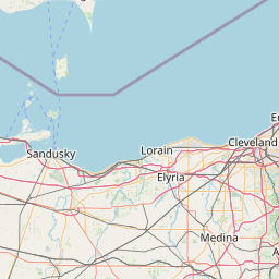
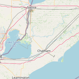
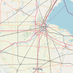
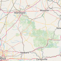
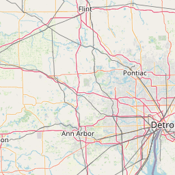
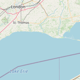
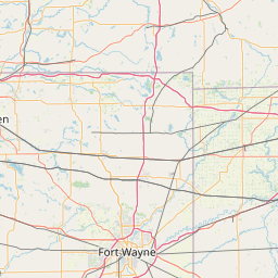
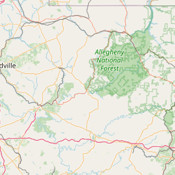
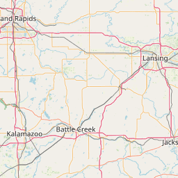
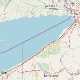
Distance Map Between Kent and Windsor
Kent, Columbus, United States ↔ Windsor, Ontario, Canada = 117 miles = 188 km.


How far is it between Kent and Windsor
Kent is located in United States with (41.1537,-81.3579) coordinates and Windsor is located in Canada with (42.3001,-83.0165) coordinates. The calculated flying distance from Kent to Windsor is equal to 117 miles which is equal to 188 km.
If you want to go by car, the driving distance between Kent and Windsor is 311.5 km. If you ride your car with an average speed of 112 kilometers/hour (70 miles/h), travel time will be 02 hours 46 minutes. Please check the avg. speed travel time table on the right for various options.
Difference between fly and go by a car is 124 km.
| City/Place | Latitude and Longitude | GPS Coordinates |
|---|---|---|
| Kent | 41.1537, -81.3579 | 41° 9´ 13.2120'' N 81° 21´ 28.4040'' W |
| Windsor | 42.3001, -83.0165 | 42° 18´ 0.2880'' N 83° 0´ 59.5440'' W |
Estimated Travel Time Between Kent and Windsor
| Average Speed | Travel Time |
|---|---|
| 30 mph (48 km/h) | 06 hours 29 minutes |
| 40 mph (64 km/h) | 04 hours 52 minutes |
| 50 mph (80 km/h) | 03 hours 53 minutes |
| 60 mph (97 km/h) | 03 hours 12 minutes |
| 70 mph (112 km/h) | 02 hours 46 minutes |
| 75 mph (120 km/h) | 02 hours 35 minutes |
Related Distances from Kent
| Cities | Distance |
|---|---|
| Kent 2 to London 2 | 501 km |
| Kent 2 to Windsor | 311 km |
| Kent 2 to Halifax | 2067 km |
| Kent 2 to Toronto | 512 km |
| Kent 2 to Winnipeg | 1977 km |
Related Distances to Windsor
| Cities | Distance |
|---|---|
| Detroit to Windsor | 6 km |
| Chicago to Windsor | 468 km |
| New York City to Windsor | 994 km |
| Sudbury to Windsor | 1107 km |
| Cleveland to Windsor | 277 km |