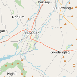
Distance from Kepanjen to Ngunut
Distance between Kepanjen and Ngunut is 61 kilometers (38 miles).
Driving distance from Kepanjen to Ngunut is 75 kilometers (47 miles).
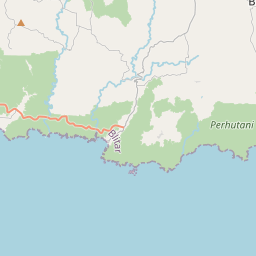
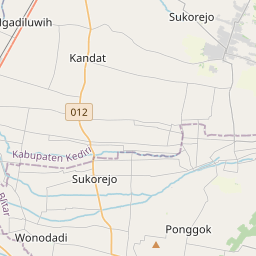
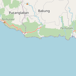
Distance Map Between Kepanjen and Ngunut
Kepanjen, Surabaya, Indonesia ↔ Ngunut, Surabaya, Indonesia = 38 miles = 61 km.

How far is it between Kepanjen and Ngunut
Kepanjen is located in Indonesia with (-8.1303,112.5727) coordinates and Ngunut is located in Indonesia with (-8.1058,112.0159) coordinates. The calculated flying distance from Kepanjen to Ngunut is equal to 38 miles which is equal to 61 km.
If you want to go by car, the driving distance between Kepanjen and Ngunut is 74.86 km. If you ride your car with an average speed of 112 kilometers/hour (70 miles/h), travel time will be 00 hours 40 minutes. Please check the avg. speed travel time table on the right for various options.
Difference between fly and go by a car is 14 km.
| City/Place | Latitude and Longitude | GPS Coordinates |
|---|---|---|
| Kepanjen | -8.1303, 112.5727 | 8° 7´ 49.0800'' S 112° 34´ 21.7200'' E |
| Ngunut | -8.1058, 112.0159 | 8° 6´ 20.8800'' S 112° 0´ 57.2760'' E |
Estimated Travel Time Between Kepanjen and Ngunut
| Average Speed | Travel Time |
|---|---|
| 30 mph (48 km/h) | 01 hours 33 minutes |
| 40 mph (64 km/h) | 01 hours 10 minutes |
| 50 mph (80 km/h) | 00 hours 56 minutes |
| 60 mph (97 km/h) | 00 hours 46 minutes |
| 70 mph (112 km/h) | 00 hours 40 minutes |
| 75 mph (120 km/h) | 00 hours 37 minutes |
Related Distances from Kepanjen
| Cities | Distance |
|---|---|
| Kepanjen to Malang | 20 km |
| Kepanjen to Lawang | 37 km |
| Kepanjen to Singosari | 30 km |
| Kepanjen to Tulungagung | 89 km |
| Kepanjen to Sumberpucung | 12 km |
Related Distances to Ngunut
| Cities | Distance |
|---|---|
| Blitar to Ngunut | 22 km |
| Kencong to Ngunut | 197 km |
| Malang to Ngunut | 93 km |
| Kediri to Ngunut | 44 km |
| Kamal to Ngunut | 201 km |