Distance from Kerava to Prague
Distance between Kerava and Prague is 1328 kilometers (825 miles).
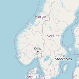
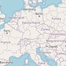
Distance Map Between Kerava and Prague
Kerava, Helsinki, Finland ↔ Prague, Czech Republic = 825 miles = 1328 km.


Leaflet | © OpenStreetMap
How far is it between Kerava and Prague
Kerava is located in Finland with (60.4034,25.105) coordinates and Prague is located in Czech Republic with (50.088,14.4208) coordinates. The calculated flying distance from Kerava to Prague is equal to 825 miles which is equal to 1328 km.
| City/Place | Latitude and Longitude | GPS Coordinates |
|---|---|---|
| Kerava | 60.4034, 25.105 | 60° 24´ 12.1680'' N 25° 6´ 18.0000'' E |
| Prague | 50.088, 14.4208 | 50° 5´ 16.9440'' N 14° 25´ 14.7360'' E |
Kerava, Helsinki, Finland
Related Distances from Kerava
| Cities | Distance |
|---|---|
| Kerava to Vantaa | 18 km |
| Kerava to Tuusula | 6 km |
| Kerava to Vihti | 73 km |
| Kerava to Kirkkonummi | 58 km |
| Kerava to Lohja | 79 km |
Prague, Czech Republic
Related Distances to Prague
| Cities | Distance |
|---|---|
| Helsinki to Prague | 1724 km |
| Haemeenlinna to Prague | 1823 km |
| Tampere to Prague | 1906 km |
| Hyvinge to Prague | 1779 km |
| Anjala to Prague | 1859 km |