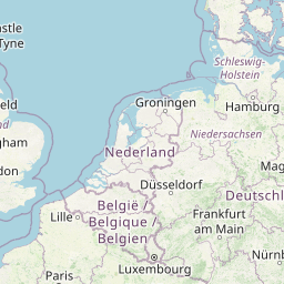
Distance from Kerpen to Soest
Distance between Kerpen and Soest is 126 kilometers (78 miles).
Distance Map Between Kerpen and Soest
Kerpen, Dusseldorf, Germany ↔ Soest, Dusseldorf, Germany = 78 miles = 126 km.


Leaflet | © OpenStreetMap
How far is it between Kerpen and Soest
Kerpen is located in Germany with (50.8699,6.6969) coordinates and Soest is located in Germany with (51.5756,8.1062) coordinates. The calculated flying distance from Kerpen to Soest is equal to 78 miles which is equal to 126 km.
| City/Place | Latitude and Longitude | GPS Coordinates |
|---|---|---|
| Kerpen | 50.8699, 6.6969 | 50° 52´ 11.6760'' N 6° 41´ 48.8760'' E |
| Soest | 51.5756, 8.1062 | 51° 34´ 32.0880'' N 8° 6´ 22.2840'' E |
Kerpen, Dusseldorf, Germany
Related Distances from Kerpen
| Cities | Distance |
|---|---|
| Kerpen to Koeln | 27 km |
| Kerpen to Wulfrath | 77 km |
| Kerpen to Monchengladbach | 49 km |
| Kerpen to Siegen | 125 km |
| Kerpen to Krefeld | 69 km |
Soest, Dusseldorf, Germany
Related Distances to Soest
| Cities | Distance |
|---|---|
| Dortmund to Soest | 53 km |
| Hamm to Soest | 26 km |
| Essen to Soest | 84 km |
| Heinsberg to Soest | 178 km |
| Hagen to Soest | 63 km |