Distance from Keruguya to Moyale
Distance between Keruguya and Moyale is 489 kilometers (304 miles).
Driving distance from Keruguya to Moyale is 670 kilometers (416 miles).
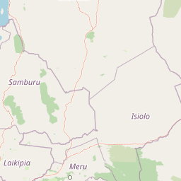
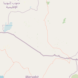
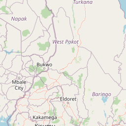
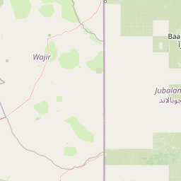
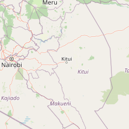
Distance Map Between Keruguya and Moyale
Keruguya, Kenya ↔ Moyale, Marsabit, Kenya = 304 miles = 489 km.

How far is it between Keruguya and Moyale
Keruguya is located in Kenya with (-0.4989,37.2803) coordinates and Moyale is located in Kenya with (3.5216,39.0547) coordinates. The calculated flying distance from Keruguya to Moyale is equal to 304 miles which is equal to 489 km.
If you want to go by car, the driving distance between Keruguya and Moyale is 670.16 km. If you ride your car with an average speed of 112 kilometers/hour (70 miles/h), travel time will be 05 hours 59 minutes. Please check the avg. speed travel time table on the right for various options.
Difference between fly and go by a car is 181 km.
| City/Place | Latitude and Longitude | GPS Coordinates |
|---|---|---|
| Keruguya | -0.4989, 37.2803 | 0° 29´ 55.9320'' S 37° 16´ 49.1160'' E |
| Moyale | 3.5216, 39.0547 | 3° 31´ 17.7600'' N 39° 3´ 16.9920'' E |
Estimated Travel Time Between Keruguya and Moyale
| Average Speed | Travel Time |
|---|---|
| 30 mph (48 km/h) | 13 hours 57 minutes |
| 40 mph (64 km/h) | 10 hours 28 minutes |
| 50 mph (80 km/h) | 08 hours 22 minutes |
| 60 mph (97 km/h) | 06 hours 54 minutes |
| 70 mph (112 km/h) | 05 hours 59 minutes |
| 75 mph (120 km/h) | 05 hours 35 minutes |
Related Distances from Keruguya
| Cities | Distance |
|---|---|
| Keruguya to Nairobi | 128 km |
| Keruguya to Nakuru | 214 km |
| Keruguya to Nyeri | 46 km |
| Keruguya to Mombasa | 606 km |
| Keruguya to Nyahururu | 149 km |
Related Distances to Moyale
| Cities | Distance |
|---|---|
| Marsabit to Moyale | 246 km |
| Isiolo to Moyale | 503 km |
| Mandera to Moyale | 382 km |
| Mombasa to Moyale | 1039 km |
| Meru to Moyale | 652 km |