Distance from Keshod to Valsad
Distance between Keshod and Valsad is 289 kilometers (179 miles).
Driving distance from Keshod to Valsad is 653 kilometers (405 miles).
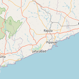
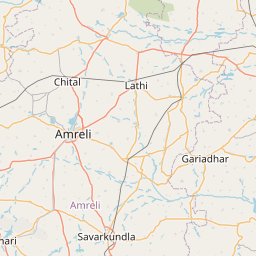
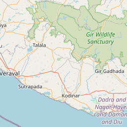
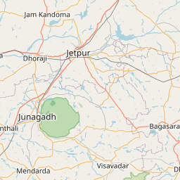
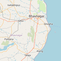
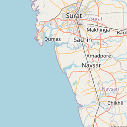
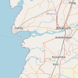
Distance Map Between Keshod and Valsad
Keshod, Ghandinagar, India ↔ Valsad, Ghandinagar, India = 179 miles = 289 km.


How far is it between Keshod and Valsād
Keshod is located in India with (21.3033,70.2486) coordinates and Valsad is located in India with (20.6173,72.9284) coordinates. The calculated flying distance from Keshod to Valsad is equal to 179 miles which is equal to 289 km.
If you want to go by car, the driving distance between Keshod and Valsad is 652.52 km. If you ride your car with an average speed of 112 kilometers/hour (70 miles/h), travel time will be 05 hours 49 minutes. Please check the avg. speed travel time table on the right for various options.
Difference between fly and go by a car is 364 km.
| City/Place | Latitude and Longitude | GPS Coordinates |
|---|---|---|
| Keshod | 21.3033, 70.2486 | 21° 18´ 11.8080'' N 70° 14´ 54.9960'' E |
| Valsad | 20.6173, 72.9284 | 20° 37´ 2.2080'' N 72° 55´ 42.3480'' E |
Estimated Travel Time Between Keshod and Valsād
| Average Speed | Travel Time |
|---|---|
| 30 mph (48 km/h) | 13 hours 35 minutes |
| 40 mph (64 km/h) | 10 hours 11 minutes |
| 50 mph (80 km/h) | 08 hours 09 minutes |
| 60 mph (97 km/h) | 06 hours 43 minutes |
| 70 mph (112 km/h) | 05 hours 49 minutes |
| 75 mph (120 km/h) | 05 hours 26 minutes |
Related Distances from Keshod
| Cities | Distance |
|---|---|
| Keshod to Mangrol | 26 km |
| Keshod to Una | 132 km |
| Keshod to Mendarda | 24 km |
| Keshod to Manavadar | 29 km |
| Keshod to Kodinar | 97 km |
Related Distances to Valsad
| Cities | Distance |
|---|---|
| Surat to Valsad | 92 km |
| Vapi to Valsad | 38 km |
| Gandevi to Valsad | 38 km |
| Pardi to Valsad | 18 km |
| Ahmedabad to Valsad | 331 km |