Distance from Khambhat to Morwa
Distance between Khambhat and Morwa is 141 kilometers (88 miles).
Driving distance from Khambhat to Morwa is 180 kilometers (112 miles).
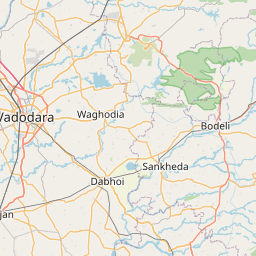
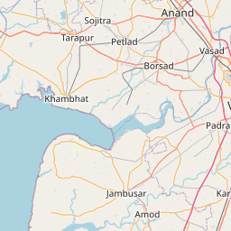
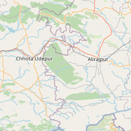
Distance Map Between Khambhat and Morwa
Khambhat, Ghandinagar, India ↔ Morwa, Ghandinagar, India = 88 miles = 141 km.


How far is it between Khambhāt and Morwa
Khambhat is located in India with (22.3174,72.6192) coordinates and Morwa is located in India with (22.9047,73.8391) coordinates. The calculated flying distance from Khambhat to Morwa is equal to 88 miles which is equal to 141 km.
If you want to go by car, the driving distance between Khambhat and Morwa is 180.08 km. If you ride your car with an average speed of 112 kilometers/hour (70 miles/h), travel time will be 01 hours 36 minutes. Please check the avg. speed travel time table on the right for various options.
Difference between fly and go by a car is 39 km.
| City/Place | Latitude and Longitude | GPS Coordinates |
|---|---|---|
| Khambhat | 22.3174, 72.6192 | 22° 19´ 2.7840'' N 72° 37´ 8.9760'' E |
| Morwa | 22.9047, 73.8391 | 22° 54´ 16.8840'' N 73° 50´ 20.8320'' E |
Estimated Travel Time Between Khambhāt and Morwa
| Average Speed | Travel Time |
|---|---|
| 30 mph (48 km/h) | 03 hours 45 minutes |
| 40 mph (64 km/h) | 02 hours 48 minutes |
| 50 mph (80 km/h) | 02 hours 15 minutes |
| 60 mph (97 km/h) | 01 hours 51 minutes |
| 70 mph (112 km/h) | 01 hours 36 minutes |
| 75 mph (120 km/h) | 01 hours 30 minutes |
Related Distances from Khambhat
| Cities | Distance |
|---|---|
| Khambhat to Vadodara | 78 km |
| Khambhat to Nadiad | 57 km |
| Khambhat to Surat | 209 km |
| Khambhat to Kheda | 56 km |
| Khambhat to Rajkot | 222 km |
Related Distances to Morwa
| Cities | Distance |
|---|---|
| Godhra to Morwa | 33 km |
| Vapi to Morwa | 358 km |
| Anand to Morwa | 122 km |
| Bardoli to Morwa | 270 km |
| Ahmedabad to Morwa | 161 km |