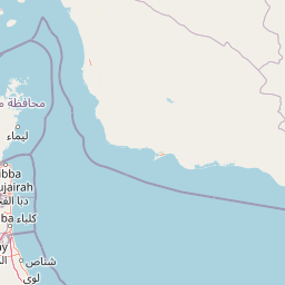
Distance from Khasab to Muscat
Distance between Khasab and Muscat is 371 kilometers (230 miles).
Driving distance from Khasab to Muscat is 528 kilometers (328 miles).
Distance Map Between Khasab and Muscat
Khasab, Oman ↔ Muscat, Oman = 230 miles = 371 km.


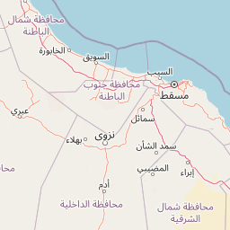


How far is it between Khaşab and Muscat
Khasab is located in Oman with (26.1799,56.2477) coordinates and Muscat is located in Oman with (23.6139,58.5922) coordinates. The calculated flying distance from Khasab to Muscat is equal to 230 miles which is equal to 371 km.
If you want to go by car, the driving distance between Khasab and Muscat is 527.96 km. If you ride your car with an average speed of 112 kilometers/hour (70 miles/h), travel time will be 04 hours 42 minutes. Please check the avg. speed travel time table on the right for various options.
Difference between fly and go by a car is 157 km.
| City/Place | Latitude and Longitude | GPS Coordinates |
|---|---|---|
| Khasab | 26.1799, 56.2477 | 26° 10´ 47.7480'' N 56° 14´ 51.8640'' E |
| Muscat | 23.6139, 58.5922 | 23° 36´ 49.9320'' N 58° 35´ 31.9200'' E |
Estimated Travel Time Between Khaşab and Muscat
| Average Speed | Travel Time |
|---|---|
| 30 mph (48 km/h) | 10 hours 59 minutes |
| 40 mph (64 km/h) | 08 hours 14 minutes |
| 50 mph (80 km/h) | 06 hours 35 minutes |
| 60 mph (97 km/h) | 05 hours 26 minutes |
| 70 mph (112 km/h) | 04 hours 42 minutes |
| 75 mph (120 km/h) | 04 hours 23 minutes |
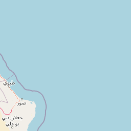
Related Distances from Khasab
| Cities | Distance |
|---|---|
| Khasab to Muscat | 528 km |
| Khasab to Salalah | 1452 km |
| Khasab to Nizwa | 590 km |
| Khasab to Sur | 706 km |
| Khasab to Al Sohar | 309 km |
Related Distances to Muscat
| Cities | Distance |
|---|---|
| Al Sohar to Muscat | 236 km |
| Salalah to Muscat | 1037 km |
| Ibra to Muscat | 183 km |
| Sur to Muscat | 209 km |
| Nizwa to Muscat | 182 km |