Distance from Kheralu to Modasa
Distance between Kheralu and Modasa is 84 kilometers (52 miles).
Driving distance from Kheralu to Modasa is 119 kilometers (74 miles).
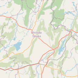
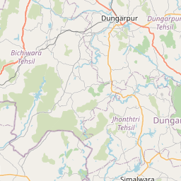
Distance Map Between Kheralu and Modasa
Kheralu, Ghandinagar, India ↔ Modasa, Ghandinagar, India = 52 miles = 84 km.


How far is it between Kherālu and Modāsa
Kheralu is located in India with (23.8853,72.6187) coordinates and Modasa is located in India with (23.4625,73.2986) coordinates. The calculated flying distance from Kheralu to Modasa is equal to 52 miles which is equal to 84 km.
If you want to go by car, the driving distance between Kheralu and Modasa is 119.01 km. If you ride your car with an average speed of 112 kilometers/hour (70 miles/h), travel time will be 01 hours 03 minutes. Please check the avg. speed travel time table on the right for various options.
Difference between fly and go by a car is 35 km.
| City/Place | Latitude and Longitude | GPS Coordinates |
|---|---|---|
| Kheralu | 23.8853, 72.6187 | 23° 53´ 7.2240'' N 72° 37´ 7.2840'' E |
| Modasa | 23.4625, 73.2986 | 23° 27´ 45.1080'' N 73° 17´ 54.8520'' E |
Estimated Travel Time Between Kherālu and Modāsa
| Average Speed | Travel Time |
|---|---|
| 30 mph (48 km/h) | 02 hours 28 minutes |
| 40 mph (64 km/h) | 01 hours 51 minutes |
| 50 mph (80 km/h) | 01 hours 29 minutes |
| 60 mph (97 km/h) | 01 hours 13 minutes |
| 70 mph (112 km/h) | 01 hours 03 minutes |
| 75 mph (120 km/h) | 00 hours 59 minutes |
Related Distances from Kheralu
| Cities | Distance |
|---|---|
| Kheralu to Unjha | 33 km |
| Kheralu to Visnagar | 28 km |
| Kheralu to Vadnagar | 16 km |
| Kheralu to Patan 2 | 53 km |
| Kheralu to Palanpur | 43 km |
Related Distances to Modasa
| Cities | Distance |
|---|---|
| Ahmedabad to Modasa | 124 km |
| Himatnagar to Modasa | 50 km |
| Kapadvanj to Modasa | 63 km |
| Halol to Modasa | 144 km |
| Dahegam to Modasa | 72 km |