Distance from Kilifi to Mandera
Distance between Kilifi and Mandera is 870 kilometers (541 miles).
Driving distance from Kilifi to Mandera is 1116 kilometers (693 miles).
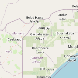
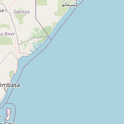
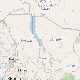
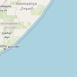
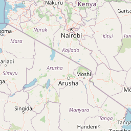
Distance Map Between Kilifi and Mandera
Kilifi, Kenya ↔ Mandera, Kenya = 541 miles = 870 km.


How far is it between Kilifi and Mandera
Kilifi is located in Kenya with (-3.6305,39.8499) coordinates and Mandera is located in Kenya with (3.9373,41.8569) coordinates. The calculated flying distance from Kilifi to Mandera is equal to 541 miles which is equal to 870 km.
If you want to go by car, the driving distance between Kilifi and Mandera is 1115.93 km. If you ride your car with an average speed of 112 kilometers/hour (70 miles/h), travel time will be 09 hours 57 minutes. Please check the avg. speed travel time table on the right for various options.
Difference between fly and go by a car is 246 km.
| City/Place | Latitude and Longitude | GPS Coordinates |
|---|---|---|
| Kilifi | -3.6305, 39.8499 | 3° 37´ 49.6200'' S 39° 50´ 59.7120'' E |
| Mandera | 3.9373, 41.8569 | 3° 56´ 14.1360'' N 41° 51´ 24.7680'' E |
Estimated Travel Time Between Kilifi and Mandera
| Average Speed | Travel Time |
|---|---|
| 30 mph (48 km/h) | 23 hours 14 minutes |
| 40 mph (64 km/h) | 17 hours 26 minutes |
| 50 mph (80 km/h) | 13 hours 56 minutes |
| 60 mph (97 km/h) | 11 hours 30 minutes |
| 70 mph (112 km/h) | 09 hours 57 minutes |
| 75 mph (120 km/h) | 09 hours 17 minutes |
Related Distances from Kilifi
| Cities | Distance |
|---|---|
| Kilifi to Mombasa | 61 km |
| Kilifi to Malindi | 60 km |
| Kilifi to Nairobi | 597 km |
| Kilifi to Voi | 180 km |
| Kilifi to Nakuru | 670 km |
Related Distances to Mandera
| Cities | Distance |
|---|---|
| Garissa to Mandera | 713 km |
| Wajir to Mandera | 392 km |
| Moyale to Mandera | 380 km |
| Isiolo to Mandera | 740 km |
| Eldoret to Mandera | 1122 km |