Distance from Kingston to Cortland
Distance between Kingston and Cortland is 195 kilometers (121 miles).
Driving distance from Kingston to Cortland is 275 kilometers (171 miles).
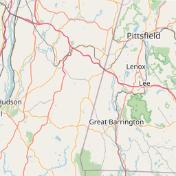
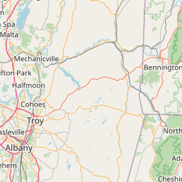
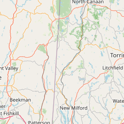
Distance Map Between Kingston and Cortland
Kingston, Albany, United States ↔ Cortland, Albany, United States = 121 miles = 195 km.


How far is it between Kingston and Cortland
Kingston is located in United States with (41.927,-73.9974) coordinates and Cortland is located in United States with (42.6012,-76.1805) coordinates. The calculated flying distance from Kingston to Cortland is equal to 121 miles which is equal to 195 km.
If you want to go by car, the driving distance between Kingston and Cortland is 274.62 km. If you ride your car with an average speed of 112 kilometers/hour (70 miles/h), travel time will be 02 hours 27 minutes. Please check the avg. speed travel time table on the right for various options.
Difference between fly and go by a car is 80 km.
| City/Place | Latitude and Longitude | GPS Coordinates |
|---|---|---|
| Kingston | 41.927, -73.9974 | 41° 55´ 37.3440'' N 73° 59´ 50.4960'' W |
| Cortland | 42.6012, -76.1805 | 42° 36´ 4.2480'' N 76° 10´ 49.7280'' W |
Estimated Travel Time Between Kingston and Cortland
| Average Speed | Travel Time |
|---|---|
| 30 mph (48 km/h) | 05 hours 43 minutes |
| 40 mph (64 km/h) | 04 hours 17 minutes |
| 50 mph (80 km/h) | 03 hours 25 minutes |
| 60 mph (97 km/h) | 02 hours 49 minutes |
| 70 mph (112 km/h) | 02 hours 27 minutes |
| 75 mph (120 km/h) | 02 hours 17 minutes |
Related Distances from Kingston
| Cities | Distance |
|---|---|
| Kingston 3 to Jamaica | 181 km |
| Kingston 3 to Brighton 2 | 440 km |
| Kingston 3 to Buffalo | 546 km |
| Kingston 3 to Harrison | 152 km |
| Kingston 3 to Beacon | 66 km |
Related Distances to Cortland
| Cities | Distance |
|---|---|
| New York City to Cortland | 347 km |
| Ithaca to Cortland | 40 km |
| Long Island City to Cortland | 353 km |
| Syracuse to Cortland | 54 km |
| Oswego 2 to Cortland | 118 km |