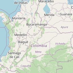
Distance from Kingston to Tunja
Distance between Kingston and Tunja is 1435 kilometers (891 miles).
Distance Map Between Kingston and Tunja
Kingston, Jamaica ↔ Tunja, Colombia = 891 miles = 1435 km.


Leaflet | © OpenStreetMap
How far is it between Kingston and Tunja
Kingston is located in Jamaica with (17.997,-76.7936) coordinates and Tunja is located in Colombia with (5.5353,-73.3678) coordinates. The calculated flying distance from Kingston to Tunja is equal to 891 miles which is equal to 1435 km.
| City/Place | Latitude and Longitude | GPS Coordinates |
|---|---|---|
| Kingston | 17.997, -76.7936 | 17° 59´ 49.2720'' N 76° 47´ 36.8880'' W |
| Tunja | 5.5353, -73.3678 | 5° 32´ 7.0080'' N 73° 22´ 4.0080'' W |
Kingston, Jamaica
Related Distances from Kingston
| Cities | Distance |
|---|---|
| Kingston to Montego Bay | 181 km |
| Kingston to Mandeville | 95 km |
| Kingston to Spanish Town | 21 km |
| Kingston to May Pen | 60 km |
| Kingston to Savanna La Mar | 195 km |
Tunja, Colombia
Related Distances to Tunja
| Cities | Distance |
|---|---|
| Bogota to Tunja | 148 km |
| Medellin to Tunja | 476 km |
| Yopal to Tunja | 219 km |
| Bucaramanga to Tunja | 284 km |
| Neiva to Tunja | 446 km |