Distance from Kirov to Smolensk
Distance between Kirov and Smolensk is 1152 kilometers (716 miles).
Driving distance from Kirov to Smolensk is 1352 kilometers (840 miles).
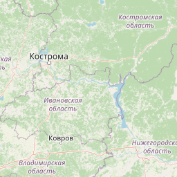
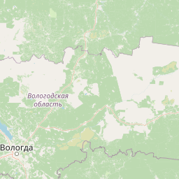
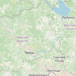
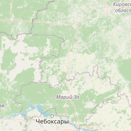
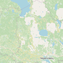
Distance Map Between Kirov and Smolensk
Kirov, Russia ↔ Smolensk, Russia = 716 miles = 1152 km.


How far is it between Kirov and Smolensk
Kirov is located in Russia with (58.5967,49.6601) coordinates and Smolensk is located in Russia with (54.7818,32.0401) coordinates. The calculated flying distance from Kirov to Smolensk is equal to 716 miles which is equal to 1152 km.
If you want to go by car, the driving distance between Kirov and Smolensk is 1351.93 km. If you ride your car with an average speed of 112 kilometers/hour (70 miles/h), travel time will be 12 hours 04 minutes. Please check the avg. speed travel time table on the right for various options.
Difference between fly and go by a car is 200 km.
| City/Place | Latitude and Longitude | GPS Coordinates |
|---|---|---|
| Kirov | 58.5967, 49.6601 | 58° 35´ 47.9400'' N 49° 39´ 36.2520'' E |
| Smolensk | 54.7818, 32.0401 | 54° 46´ 54.4800'' N 32° 2´ 24.3600'' E |
Estimated Travel Time Between Kirov and Smolensk
| Average Speed | Travel Time |
|---|---|
| 30 mph (48 km/h) | 28 hours 09 minutes |
| 40 mph (64 km/h) | 21 hours 07 minutes |
| 50 mph (80 km/h) | 16 hours 53 minutes |
| 60 mph (97 km/h) | 13 hours 56 minutes |
| 70 mph (112 km/h) | 12 hours 04 minutes |
| 75 mph (120 km/h) | 11 hours 15 minutes |
Related Distances from Kirov
| Cities | Distance |
|---|---|
| Kirov to Moscow | 955 km |
| Kirov to Perm | 495 km |
| Kirov to Saint Petersburg | 1389 km |
| Kirov to Samara | 741 km |
| Kirov to Volgograd | 1423 km |
Related Distances to Smolensk
| Cities | Distance |
|---|---|
| Moscow to Smolensk | 399 km |
| Vladivostok to Smolensk | 9606 km |
| Orel to Smolensk | 381 km |
| Saint Petersburg to Smolensk | 755 km |
| Omsk to Smolensk | 3113 km |