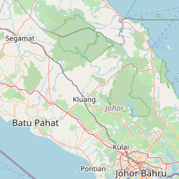
Distance from Klang to Stabat
Distance between Klang and Stabat is 343 kilometers (213 miles).
Driving distance from Klang to Stabat is 1120 kilometers (696 miles).
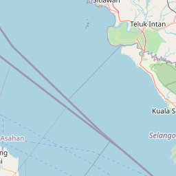
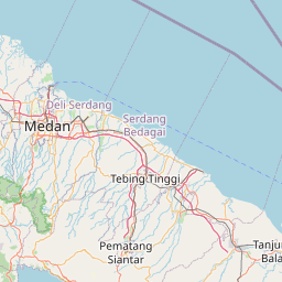
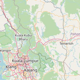
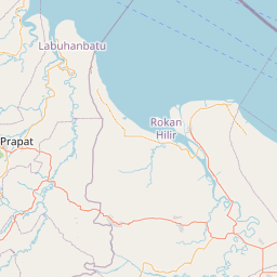
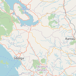
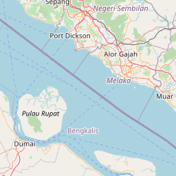
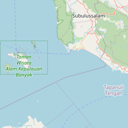
Distance Map Between Klang and Stabat
Klang, Malaysia ↔ Stabat, Medan, Indonesia = 213 miles = 343 km.


How far is it between Klang and Stabat
Klang is located in Malaysia with (3.0333,101.45) coordinates and Stabat is located in Indonesia with (3.761,98.4513) coordinates. The calculated flying distance from Klang to Stabat is equal to 213 miles which is equal to 343 km.
If you want to go by car, the driving distance between Klang and Stabat is 1119.75 km. If you ride your car with an average speed of 112 kilometers/hour (70 miles/h), travel time will be 09 hours 59 minutes. Please check the avg. speed travel time table on the right for various options.
Difference between fly and go by a car is 777 km.
| City/Place | Latitude and Longitude | GPS Coordinates |
|---|---|---|
| Klang | 3.0333, 101.45 | 3° 1´ 59.9880'' N 101° 27´ 0.0000'' E |
| Stabat | 3.761, 98.4513 | 3° 45´ 39.6000'' N 98° 27´ 4.6800'' E |
Estimated Travel Time Between Klang and Stabat
| Average Speed | Travel Time |
|---|---|
| 30 mph (48 km/h) | 23 hours 19 minutes |
| 40 mph (64 km/h) | 17 hours 29 minutes |
| 50 mph (80 km/h) | 13 hours 59 minutes |
| 60 mph (97 km/h) | 11 hours 32 minutes |
| 70 mph (112 km/h) | 09 hours 59 minutes |
| 75 mph (120 km/h) | 09 hours 19 minutes |
Related Distances from Klang
| Cities | Distance |
|---|---|
| Klang to Bukittinggi | 1759 km |
| Klang to Palu | 4061 km |
| Klang to Medan | 1104 km |
| Klang to Labuan | 1780 km |
| Klang to Surabaya | 2386 km |
Related Distances to Stabat
| Cities | Distance |
|---|---|
| Kota Bharu to Stabat | 1478 km |
| Johor Bahru to Stabat | 770 km |
| Ipoh to Stabat | 1305 km |
| Kampung Baru Subang to Stabat | 1117 km |
| Kuala Lumpur to Stabat | 1101 km |