Distance from Kodinar to Rajkot
Distance between Kodinar and Rajkot is 167 kilometers (104 miles).
Driving distance from Kodinar to Rajkot is 235 kilometers (146 miles).
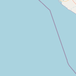
Distance Map Between Kodinar and Rajkot
Kodinar, Ghandinagar, India ↔ Rajkot, Ghandinagar, India = 104 miles = 167 km.


How far is it between Kodīnar and Rājkot
Kodinar is located in India with (20.7939,70.7022) coordinates and Rajkot is located in India with (22.2916,70.7932) coordinates. The calculated flying distance from Kodinar to Rajkot is equal to 104 miles which is equal to 167 km.
If you want to go by car, the driving distance between Kodinar and Rajkot is 235.07 km. If you ride your car with an average speed of 112 kilometers/hour (70 miles/h), travel time will be 02 hours 05 minutes. Please check the avg. speed travel time table on the right for various options.
Difference between fly and go by a car is 68 km.
| City/Place | Latitude and Longitude | GPS Coordinates |
|---|---|---|
| Kodinar | 20.7939, 70.7022 | 20° 47´ 38.1480'' N 70° 42´ 7.7760'' E |
| Rajkot | 22.2916, 70.7932 | 22° 17´ 29.7960'' N 70° 47´ 35.5920'' E |
Estimated Travel Time Between Kodīnar and Rājkot
| Average Speed | Travel Time |
|---|---|
| 30 mph (48 km/h) | 04 hours 53 minutes |
| 40 mph (64 km/h) | 03 hours 40 minutes |
| 50 mph (80 km/h) | 02 hours 56 minutes |
| 60 mph (97 km/h) | 02 hours 25 minutes |
| 70 mph (112 km/h) | 02 hours 05 minutes |
| 75 mph (120 km/h) | 01 hours 57 minutes |
Related Distances from Kodinar
| Cities | Distance |
|---|---|
| Kodinar to Una | 38 km |
| Kodinar to Rajkot | 235 km |
| Kodinar to Veraval | 47 km |
| Kodinar to Rajula | 92 km |
| Kodinar to Vadodara | 429 km |
Related Distances to Rajkot
| Cities | Distance |
|---|---|
| Limbdi to Rajkot | 117 km |
| Ahmedabad to Rajkot | 219 km |
| Jasdan to Rajkot | 59 km |
| Kalavad to Rajkot | 48 km |
| Babra to Rajkot | 80 km |