Distance from Kostanay to Shymkent
Distance between Kostanay and Shymkent is 1292 kilometers (803 miles).
Driving distance from Kostanay to Shymkent is 1689 kilometers (1049 miles).
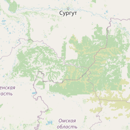
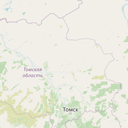
Distance Map Between Kostanay and Shymkent
Kostanay, Kazakhstan ↔ Shymkent, Kazakhstan = 803 miles = 1292 km.


How far is it between Kostanay and Shymkent
Kostanay is located in Kazakhstan with (53.2144,63.6246) coordinates and Shymkent is located in Kazakhstan with (42.3,69.6) coordinates. The calculated flying distance from Kostanay to Shymkent is equal to 803 miles which is equal to 1292 km.
If you want to go by car, the driving distance between Kostanay and Shymkent is 1688.58 km. If you ride your car with an average speed of 112 kilometers/hour (70 miles/h), travel time will be 15 hours 04 minutes. Please check the avg. speed travel time table on the right for various options.
Difference between fly and go by a car is 397 km.
| City/Place | Latitude and Longitude | GPS Coordinates |
|---|---|---|
| Kostanay | 53.2144, 63.6246 | 53° 12´ 51.6600'' N 63° 37´ 28.6680'' E |
| Shymkent | 42.3, 69.6 | 42° 17´ 60.0000'' N 69° 35´ 60.0000'' E |
Estimated Travel Time Between Kostanay and Shymkent
| Average Speed | Travel Time |
|---|---|
| 30 mph (48 km/h) | 35 hours 10 minutes |
| 40 mph (64 km/h) | 26 hours 23 minutes |
| 50 mph (80 km/h) | 21 hours 06 minutes |
| 60 mph (97 km/h) | 17 hours 24 minutes |
| 70 mph (112 km/h) | 15 hours 04 minutes |
| 75 mph (120 km/h) | 14 hours 04 minutes |
Related Distances from Kostanay
| Cities | Distance |
|---|---|
| Kostanay to Atyrau | 1379 km |
| Kostanay to Taraz | 1836 km |
| Kostanay to Aktau | 1978 km |
| Kostanay to Shymkent | 1689 km |
| Kostanay to Taldykorgan | 2084 km |
Related Distances to Shymkent
| Cities | Distance |
|---|---|
| Almaty to Shymkent | 736 km |
| Astana to Shymkent | 1490 km |
| Kyzylorda to Shymkent | 461 km |
| Kostanay to Shymkent | 1689 km |
| Petropavlovsk to Shymkent | 1861 km |