Distance from Kota Bharu to Percut
Distance between Kota Bharu and Percut is 466 kilometers (290 miles).
Driving distance from Kota Bharu to Percut is 1488 kilometers (925 miles).
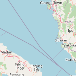
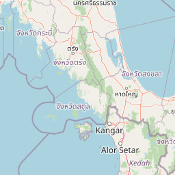
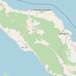
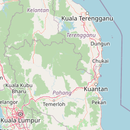
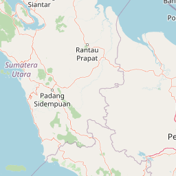
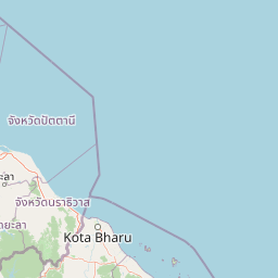
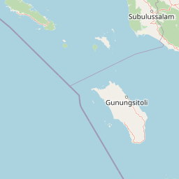
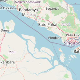
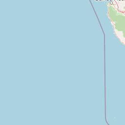
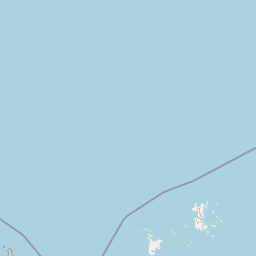
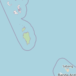
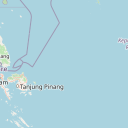
Distance Map Between Kota Bharu and Percut
Kota Bharu, Malaysia ↔ Percut, Medan, Indonesia = 290 miles = 466 km.


How far is it between Kota Bharu and Percut
Kota Bharu is located in Malaysia with (6.1333,102.2386) coordinates and Percut is located in Indonesia with (3.6253,98.864) coordinates. The calculated flying distance from Kota Bharu to Percut is equal to 290 miles which is equal to 466 km.
If you want to go by car, the driving distance between Kota Bharu and Percut is 1488.25 km. If you ride your car with an average speed of 112 kilometers/hour (70 miles/h), travel time will be 13 hours 17 minutes. Please check the avg. speed travel time table on the right for various options.
Difference between fly and go by a car is 1022 km.
| City/Place | Latitude and Longitude | GPS Coordinates |
|---|---|---|
| Kota Bharu | 6.1333, 102.2386 | 6° 7´ 59.8080'' N 102° 14´ 18.9600'' E |
| Percut | 3.6253, 98.864 | 3° 37´ 31.0800'' N 98° 51´ 50.4000'' E |
Estimated Travel Time Between Kota Bharu and Percut
| Average Speed | Travel Time |
|---|---|
| 30 mph (48 km/h) | 31 hours 00 minutes |
| 40 mph (64 km/h) | 23 hours 15 minutes |
| 50 mph (80 km/h) | 18 hours 36 minutes |
| 60 mph (97 km/h) | 15 hours 20 minutes |
| 70 mph (112 km/h) | 13 hours 17 minutes |
| 75 mph (120 km/h) | 12 hours 24 minutes |
Related Distances from Kota Bharu
| Cities | Distance |
|---|---|
| Kota Bharu to Adiwerna | 2274 km |
| Kota Bharu to Ambarawa | 2470 km |
| Kota Bharu to Amuntai | 3713 km |
| Kota Bharu to Arjawinangun | 2101 km |
| Kota Bharu to Astanajapura | 2206 km |
| Kota Bharu to Babat | 2673 km |
| Kota Bharu to Baekrajan | 2491 km |
| Kota Bharu to Baki | 2536 km |
| Kota Bharu to Balaipungut | 2025 km |
| Kota Bharu to Balapulang | 2279 km |
Related Distances to Percut
| Cities | Distance |
|---|---|
| Kuala Lumpur to Percut | 1113 km |
| Ipoh to Percut | 1316 km |
| Johor Bahru to Percut | 781 km |
| Subang Jaya to Percut | 1114 km |
| Kuching to Percut | 3173 km |
| Kampung Baru Subang to Percut | 1128 km |
| Kota Bharu to Percut | 1488 km |
| Klang to Percut | 1132 km |