Distance from Kotovsk to Minsk
Distance between Kotovsk and Minsk is 937 kilometers (582 miles).
Driving distance from Kotovsk to Minsk is 1184 kilometers (736 miles).
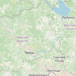
Distance Map Between Kotovsk and Minsk
Kotovsk, Tambov, Russia ↔ Minsk, Belarus = 582 miles = 937 km.


How far is it between Kotovsk and Minsk
Kotovsk is located in Russia with (52.5867,41.5021) coordinates and Minsk is located in Belarus with (53.9,27.5667) coordinates. The calculated flying distance from Kotovsk to Minsk is equal to 582 miles which is equal to 937 km.
If you want to go by car, the driving distance between Kotovsk and Minsk is 1184.23 km. If you ride your car with an average speed of 112 kilometers/hour (70 miles/h), travel time will be 10 hours 34 minutes. Please check the avg. speed travel time table on the right for various options.
Difference between fly and go by a car is 247 km.
| City/Place | Latitude and Longitude | GPS Coordinates |
|---|---|---|
| Kotovsk | 52.5867, 41.5021 | 52° 35´ 11.9760'' N 41° 30´ 7.5600'' E |
| Minsk | 53.9, 27.5667 | 53° 53´ 60.0000'' N 27° 34´ 0.0120'' E |
Estimated Travel Time Between Kotovsk and Minsk
| Average Speed | Travel Time |
|---|---|
| 30 mph (48 km/h) | 24 hours 40 minutes |
| 40 mph (64 km/h) | 18 hours 30 minutes |
| 50 mph (80 km/h) | 14 hours 48 minutes |
| 60 mph (97 km/h) | 12 hours 12 minutes |
| 70 mph (112 km/h) | 10 hours 34 minutes |
| 75 mph (120 km/h) | 09 hours 52 minutes |
Related Distances to Minsk
| Cities | Distance |
|---|---|
| Moscow to Minsk | 717 km |
| Saint Petersburg to Minsk | 792 km |
| Kaliningrad to Minsk | 565 km |
| Smolensk to Minsk | 333 km |
| Orel to Minsk | 710 km |