Distance from Kotri to Kunri
Distance between Kotri and Kunri is 128 kilometers (80 miles).
Driving distance from Kotri to Kunri is 163 kilometers (101 miles).
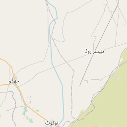
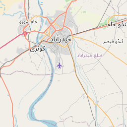
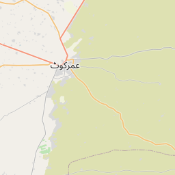
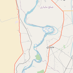
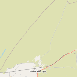
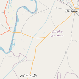
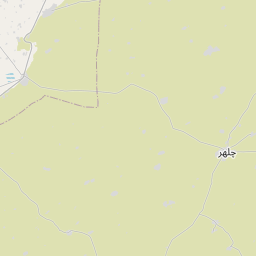
Distance Map Between Kotri and Kunri
Kotri, Karachi, Pakistan ↔ Kunri, Karachi, Pakistan = 80 miles = 128 km.

How far is it between Kotri and Kunri
Kotri is located in Pakistan with (25.366,68.3122) coordinates and Kunri is located in Pakistan with (25.1785,69.5691) coordinates. The calculated flying distance from Kotri to Kunri is equal to 80 miles which is equal to 128 km.
If you want to go by car, the driving distance between Kotri and Kunri is 163.18 km. If you ride your car with an average speed of 112 kilometers/hour (70 miles/h), travel time will be 01 hours 27 minutes. Please check the avg. speed travel time table on the right for various options.
Difference between fly and go by a car is 35 km.
| City/Place | Latitude and Longitude | GPS Coordinates |
|---|---|---|
| Kotri | 25.366, 68.3122 | 25° 21´ 57.6000'' N 68° 18´ 43.7760'' E |
| Kunri | 25.1785, 69.5691 | 25° 10´ 42.4920'' N 69° 34´ 8.8680'' E |
Estimated Travel Time Between Kotri and Kunri
| Average Speed | Travel Time |
|---|---|
| 30 mph (48 km/h) | 03 hours 23 minutes |
| 40 mph (64 km/h) | 02 hours 32 minutes |
| 50 mph (80 km/h) | 02 hours 02 minutes |
| 60 mph (97 km/h) | 01 hours 40 minutes |
| 70 mph (112 km/h) | 01 hours 27 minutes |
| 75 mph (120 km/h) | 01 hours 21 minutes |
Related Distances from Kotri
| Cities | Distance |
|---|---|
| Kotri to Sukkur | 330 km |
| Kotri to Thatta | 94 km |
| Kotri to Nawabshah | 129 km |
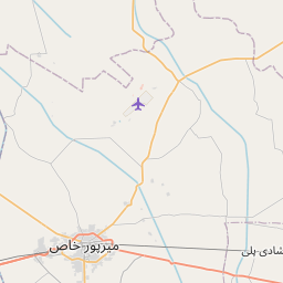
| Kotri to Mirpur Khas | 80 km |
| Kotri to Sehwan | 145 km |
Related Distances to Kunri
| Cities | Distance |
|---|---|
| Hyderabad 2 to Kunri | 162 km |
| Digri to Kunri | 61 km |
| Badin to Kunri | 108 km |
| Ghotki to Kunri | 490 km |
| Chor to Kunri | 55 km |