Distance from Kourou to Cucuta
Distance between Kourou and Cucuta is 2215 kilometers (1376 miles).
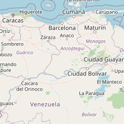
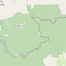
Distance Map Between Kourou and Cucuta
Kourou, Cayenne, French Guiana ↔ Cucuta, Colombia = 1376 miles = 2215 km.


Leaflet | © OpenStreetMap
How far is it between Kourou and Cúcuta
Kourou is located in French Guiana with (5.1552,-52.6478) coordinates and Cucuta is located in Colombia with (7.8939,-72.5078) coordinates. The calculated flying distance from Kourou to Cucuta is equal to 1376 miles which is equal to 2215 km.
| City/Place | Latitude and Longitude | GPS Coordinates |
|---|---|---|
| Kourou | 5.1552, -52.6478 | 5° 9´ 18.6480'' N 52° 38´ 52.0440'' W |
| Cucuta | 7.8939, -72.5078 | 7° 53´ 38.0760'' N 72° 30´ 28.1520'' W |
Kourou, Cayenne, French Guiana
Related Distances from Kourou
| Cities | Distance |
|---|---|
| Kourou to Saint Laurent Du Maroni | 189 km |
| Kourou to Remire Montjoly | 67 km |
| Kourou to Matoury | 61 km |
Cucuta, Colombia
Related Distances to Cucuta
| Cities | Distance |
|---|---|
| Bogota to Cucuta | 568 km |
| Bucaramanga to Cucuta | 198 km |
| Cali to Cucuta | 1011 km |
| Cartagena to Cucuta | 730 km |
| Barranquilla to Cucuta | 654 km |