Distance from Kuching to Gebog
Distance between Kuching and Gebog is 923 kilometers (573 miles).
Driving distance from Kuching to Gebog is 1501 kilometers (933 miles).
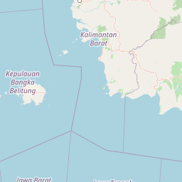
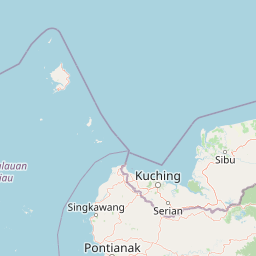
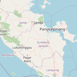
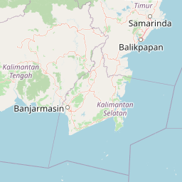
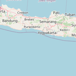
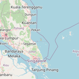
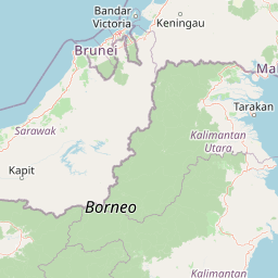
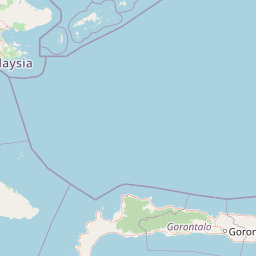
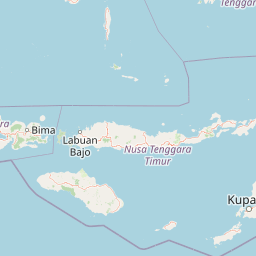
Distance Map Between Kuching and Gebog
Kuching, Malaysia ↔ Gebog, Semarang, Indonesia = 573 miles = 923 km.


How far is it between Kuching and Gebog
Kuching is located in Malaysia with (1.55,110.3333) coordinates and Gebog is located in Indonesia with (-6.735,110.8444) coordinates. The calculated flying distance from Kuching to Gebog is equal to 573 miles which is equal to 923 km.
If you want to go by car, the driving distance between Kuching and Gebog is 1501.48 km. If you ride your car with an average speed of 112 kilometers/hour (70 miles/h), travel time will be 13 hours 24 minutes. Please check the avg. speed travel time table on the right for various options.
Difference between fly and go by a car is 578 km.
| City/Place | Latitude and Longitude | GPS Coordinates |
|---|---|---|
| Kuching | 1.55, 110.3333 | 1° 33´ 0.0000'' N 110° 19´ 59.9880'' E |
| Gebog | -6.735, 110.8444 | 6° 44´ 6.0000'' S 110° 50´ 39.8400'' E |
Estimated Travel Time Between Kuching and Gebog
| Average Speed | Travel Time |
|---|---|
| 30 mph (48 km/h) | 31 hours 16 minutes |
| 40 mph (64 km/h) | 23 hours 27 minutes |
| 50 mph (80 km/h) | 18 hours 46 minutes |
| 60 mph (97 km/h) | 15 hours 28 minutes |
| 70 mph (112 km/h) | 13 hours 24 minutes |
| 75 mph (120 km/h) | 12 hours 30 minutes |
Related Distances from Kuching
| Cities | Distance |
|---|---|
| Kuching to Pontianak | 322 km |
| Kuching to Jakarta | 1120 km |
| Kuching to Labuan | 1263 km |
| Kuching to Balikpapan | 2008 km |
| Kuching to Samarinda | 2076 km |
Related Distances to Gebog
| Cities | Distance |
|---|---|
| Subang Jaya to Gebog | 2121 km |
| Shah Alam to Gebog | 2131 km |
| Kuching to Gebog | 1501 km |
| Seremban to Gebog | 1967 km |
| Johor Bahru to Gebog | 1787 km |