Distance from Kukichuo to Soka
Distance between Kukichuo and Soka is 30 kilometers (19 miles).
Driving distance from Kukichuo to Soka is 38 kilometers (23 miles).
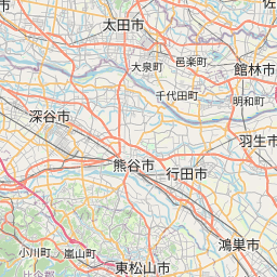
Distance Map Between Kukichuo and Soka
Kukichuo, Saitama, Japan ↔ Soka, Saitama, Japan = 19 miles = 30 km.


How far is it between Kukichūō and Sōka
Kukichuo is located in Japan with (36.0674,139.675) coordinates and Soka is located in Japan with (35.8203,139.8044) coordinates. The calculated flying distance from Kukichuo to Soka is equal to 19 miles which is equal to 30 km.
If you want to go by car, the driving distance between Kukichuo and Soka is 37.64 km. If you ride your car with an average speed of 112 kilometers/hour (70 miles/h), travel time will be 00 hours 20 minutes. Please check the avg. speed travel time table on the right for various options.
Difference between fly and go by a car is 8 km.
| City/Place | Latitude and Longitude | GPS Coordinates |
|---|---|---|
| Kukichuo | 36.0674, 139.675 | 36° 4´ 2.6040'' N 139° 40´ 29.9280'' E |
| Soka | 35.8203, 139.8044 | 35° 49´ 13.0080'' N 139° 48´ 15.9840'' E |
Estimated Travel Time Between Kukichūō and Sōka
| Average Speed | Travel Time |
|---|---|
| 30 mph (48 km/h) | 00 hours 47 minutes |
| 40 mph (64 km/h) | 00 hours 35 minutes |
| 50 mph (80 km/h) | 00 hours 28 minutes |
| 60 mph (97 km/h) | 00 hours 23 minutes |
| 70 mph (112 km/h) | 00 hours 20 minutes |
| 75 mph (120 km/h) | 00 hours 18 minutes |
Related Distances from Kukichuo
| Cities | Distance |
|---|---|
| Kukichuo to Soka | 38 km |
| Kukichuo to Oi | 50 km |
| Kukichuo to Yashio Shi | 42 km |
| Kukichuo to Yoshikawa | 45 km |
| Kukichuo to Satte | 6 km |
Related Distances to Soka
| Cities | Distance |
|---|---|
| Kasukabe to Soka | 29 km |
| Kawaguchi to Soka | 10 km |
| Satte to Soka | 43 km |
| Kukichuo to Soka | 38 km |
| Kawagoe to Soka | 51 km |