Distance from Kulob to Almaty
Distance between Kulob and Almaty is 846 kilometers (526 miles).
Driving distance from Kulob to Almaty is 1493 kilometers (928 miles).
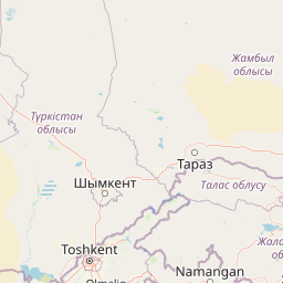
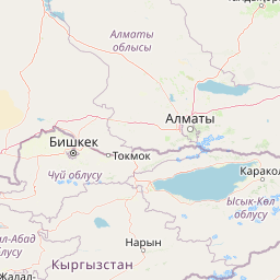
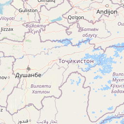
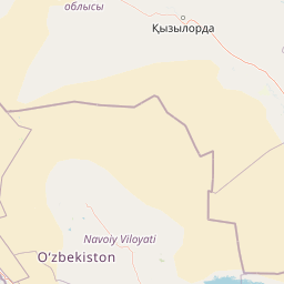
Distance Map Between Kulob and Almaty
Kulob, Qurghonteppa, Tajikistan ↔ Almaty, Kazakhstan = 526 miles = 846 km.


How far is it between Kŭlob and Almaty
Kulob is located in Tajikistan with (37.9146,69.7845) coordinates and Almaty is located in Kazakhstan with (43.2565,76.9285) coordinates. The calculated flying distance from Kulob to Almaty is equal to 526 miles which is equal to 846 km.
If you want to go by car, the driving distance between Kulob and Almaty is 1493.49 km. If you ride your car with an average speed of 112 kilometers/hour (70 miles/h), travel time will be 13 hours 20 minutes. Please check the avg. speed travel time table on the right for various options.
Difference between fly and go by a car is 647 km.
| City/Place | Latitude and Longitude | GPS Coordinates |
|---|---|---|
| Kulob | 37.9146, 69.7845 | 37° 54´ 52.5240'' N 69° 47´ 4.3440'' E |
| Almaty | 43.2565, 76.9285 | 43° 15´ 23.5440'' N 76° 55´ 42.5280'' E |
Estimated Travel Time Between Kŭlob and Almaty
| Average Speed | Travel Time |
|---|---|
| 30 mph (48 km/h) | 31 hours 06 minutes |
| 40 mph (64 km/h) | 23 hours 20 minutes |
| 50 mph (80 km/h) | 18 hours 40 minutes |
| 60 mph (97 km/h) | 15 hours 23 minutes |
| 70 mph (112 km/h) | 13 hours 20 minutes |
| 75 mph (120 km/h) | 12 hours 26 minutes |
Related Distances to Almaty
| Cities | Distance |
|---|---|
| Dushanbe to Almaty | 1305 km |
| Khujand to Almaty | 1049 km |
| Yovon to Almaty | 1355 km |
| Kulob to Almaty | 1493 km |
| Khorugh to Almaty | 1578 km |