Distance from Kunigal to Tiptur
Distance between Kunigal and Tiptur is 65 kilometers (40 miles).
Driving distance from Kunigal to Tiptur is 91 kilometers (56 miles).
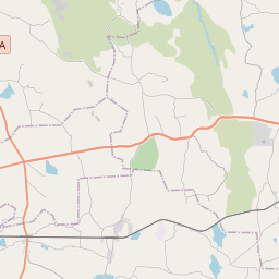
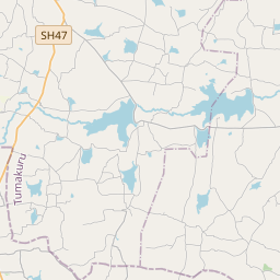
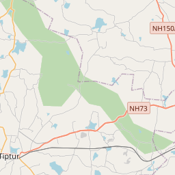
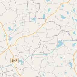
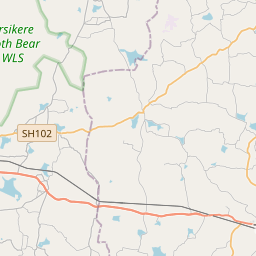
Distance Map Between Kunigal and Tiptur
Kunigal, Bangalore, India ↔ Tiptur, Bangalore, India = 40 miles = 65 km.


How far is it between Kunigal and Tiptūr
Kunigal is located in India with (13.0232,77.0252) coordinates and Tiptur is located in India with (13.2563,76.4777) coordinates. The calculated flying distance from Kunigal to Tiptur is equal to 40 miles which is equal to 65 km.
If you want to go by car, the driving distance between Kunigal and Tiptur is 90.61 km. If you ride your car with an average speed of 112 kilometers/hour (70 miles/h), travel time will be 00 hours 48 minutes. Please check the avg. speed travel time table on the right for various options.
Difference between fly and go by a car is 26 km.
| City/Place | Latitude and Longitude | GPS Coordinates |
|---|---|---|
| Kunigal | 13.0232, 77.0252 | 13° 1´ 23.4840'' N 77° 1´ 30.6480'' E |
| Tiptur | 13.2563, 76.4777 | 13° 15´ 22.6800'' N 76° 28´ 39.6480'' E |
Estimated Travel Time Between Kunigal and Tiptūr
| Average Speed | Travel Time |
|---|---|
| 30 mph (48 km/h) | 01 hours 53 minutes |
| 40 mph (64 km/h) | 01 hours 24 minutes |
| 50 mph (80 km/h) | 01 hours 07 minutes |
| 60 mph (97 km/h) | 00 hours 56 minutes |
| 70 mph (112 km/h) | 00 hours 48 minutes |
| 75 mph (120 km/h) | 00 hours 45 minutes |
Related Distances from Kunigal
| Cities | Distance |
|---|---|
| Kunigal to Bangalore | 73 km |
| Kunigal to Tumkur | 39 km |
| Kunigal to Mysore | 119 km |
| Kunigal to Maddur | 53 km |
| Kunigal to Nelamangala | 44 km |
Related Distances to Tiptur
| Cities | Distance |
|---|---|
| Hassan to Tiptur | 71 km |
| Sira to Tiptur | 97 km |
| Kunigal to Tiptur | 91 km |
| Mysore to Tiptur | 140 km |
| Chikmagalur to Tiptur | 103 km |