Distance from Kwang Binh to Hue
Distance between Kwang Binh and Hue is 152 kilometers (95 miles).
Driving distance from Kwang Binh to Hue is 166 kilometers (103 miles).
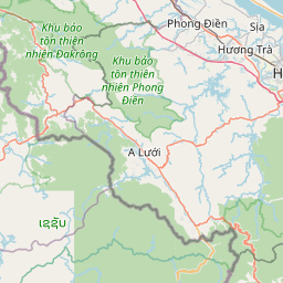
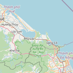
Distance Map Between Kwang Binh and Hue
Kwang Binh, Vietnam ↔ Hue, Vietnam = 95 miles = 152 km.


How far is it between Kwang Binh and Huế
Kwang Binh is located in Vietnam with (17.4689,106.6223) coordinates and Hue is located in Vietnam with (16.4619,107.5955) coordinates. The calculated flying distance from Kwang Binh to Hue is equal to 95 miles which is equal to 152 km.
If you want to go by car, the driving distance between Kwang Binh and Hue is 166.33 km. If you ride your car with an average speed of 112 kilometers/hour (70 miles/h), travel time will be 01 hours 29 minutes. Please check the avg. speed travel time table on the right for various options.
Difference between fly and go by a car is 14 km.
| City/Place | Latitude and Longitude | GPS Coordinates |
|---|---|---|
| Kwang Binh | 17.4689, 106.6223 | 17° 28´ 7.8600'' N 106° 37´ 20.1360'' E |
| Hue | 16.4619, 107.5955 | 16° 27´ 42.8400'' N 107° 35´ 43.6560'' E |
Estimated Travel Time Between Kwang Binh and Huế
| Average Speed | Travel Time |
|---|---|
| 30 mph (48 km/h) | 03 hours 27 minutes |
| 40 mph (64 km/h) | 02 hours 35 minutes |
| 50 mph (80 km/h) | 02 hours 04 minutes |
| 60 mph (97 km/h) | 01 hours 42 minutes |
| 70 mph (112 km/h) | 01 hours 29 minutes |
| 75 mph (120 km/h) | 01 hours 23 minutes |
Related Distances from Kwang Binh
| Cities | Distance |
|---|---|
| Kwang Binh to Ho Chi Minh City | 1176 km |
| Kwang Binh to Qui Nhon | 618 km |
| Kwang Binh to Thanh Pho Ha Giang | 783 km |
| Kwang Binh to Hue | 166 km |
| Kwang Binh to Hanoi | 503 km |
Related Distances to Hue
| Cities | Distance |
|---|---|
| Da Nang to Hue | 97 km |
| Hoi An to Hue | 132 km |
| Hanoi to Hue | 722 km |
| Dong Ha to Hue | 82 km |
| Can Tho to Hue | 1133 km |